East Harbor State Park
| East Harbor State Park | |
|---|---|
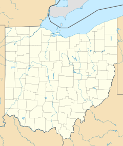
East Harbor is located on the south shore of Lake Erie. | |
| Location | Ottawa County, Ohio, USA |
| Nearest city | Port Clinton |
| Coordinates | 41°32′51″N 82°48′36″W / 41.5475505°N 82.8099097°W |
| Area | 1,831 acres (7.41 km2) |
| Created | 1947 |
East Harbor State Park is located on the shores of Lake Erie. This park includes a beach area, campground, marina, and wetland wildlife preserve areas.[1]
Trails
East Harbor's 7-mile (11 km) trail system leads through the many different habitats within the park. The Middle Harbor Trail skirts the southern edge of the Middle Harbor game sanctuary and includes a stop at a bird observation blind. The short Blackberry Trail near the camp check-in station invites campers to enjoy a pleasant evening stroll. Other foot trails near the swimming beach offer the opportunity to observe the flora and fauna of a beach community.[2]
Beach

A thin stretch of sand beach juts north-ward into the waters of Erie, separating Middle Harbor from the lake. Part of this beach was damaged in 1972 by a storm, washing away a large section of the two-mile (3 km) beach.[3] The current beach is a much smaller area to the north of the park, where swimming is permitted.[4] More recently, four segmented offshore breakwaters have been constructed on the Northern section of beach, to sustain what is left of the sandy shoreline.[5]

