Morrinho de Açúcar
| Morrinho de Açúcar | |
|---|---|
 Morrinho de Açúcar | |
| Highest point | |
| Elevation | 40 m (130 ft)[1] |
| Listing | List of mountains in Cape Verde |
| Coordinates | 16°49′44″N 22°57′18″W / 16.829°N 22.955°W[1] |
| Geography | |
northern Sal | |
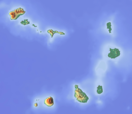
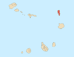
Morrinho de Açúcar (Portuguese meaning "sugar hill") is a small hill in the northern part of the island of Sal in Cape Verde. It is situated 1 km from the north coast and 8 km north of the island capital Espargos. It is a remnant of a volcanic phonolitic chimney, surrounded by a vast plain. It is protected as a natural monument.[2]
See also
References
- ^ a b Template:Pt icon Cabo Verde Visor
- ^ Monumentos Naturais, Áreas protegidas Cabo Verde


