Paraćin Airfield
Appearance
Paraćin Airport Аеродром Давидовац Aerodrom Davidovac | |||||||||||
|---|---|---|---|---|---|---|---|---|---|---|---|
 | |||||||||||
| Summary | |||||||||||
| Airport type | Civil | ||||||||||
| Location | Paraćin | ||||||||||
| Elevation AMSL | 532 ft / 162 m | ||||||||||
| Coordinates | 43°51′59.21″N 21°29′14.11″E / 43.8664472°N 21.4872528°E | ||||||||||
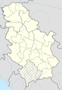
| Map | |||||||||||
| Runways | |||||||||||
| |||||||||||
Paraćin Airport (ICAO: LYPN), also known as the Davidovac Airport (Serbian: Аеродром Давидовац, Aerodrom Davidovac) is a civil airport near the town of Paraćin, Serbia. Its runway is 900 metres long and 50 metres wide.
See also
External links
Wikimedia Commons has media related to Paraćin Airport.

