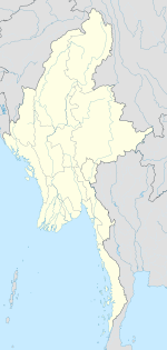
Paungbyin, Shan State
Appearance
Paungbyin
ဖောင်းြင် | |
|---|---|
Village | |
| Coordinates: 20°39′49″N 96°54′06″E / 20.66361°N 96.90167°E | |
| Country | Burma |
| Region | Shan State |
| District | Taunggyi |
| Township | Kalaw Township |
| Elevation | 878 m (2,883 ft) |
| Time zone | UTC+6.30 (MST) |
Paungbyin[1] is a village in Kalaw Township, Taunggyi District, Shan State, of Myanmar. It lies in the Inle Valley north of Inle Lake.
References
[edit]External links
[edit]


