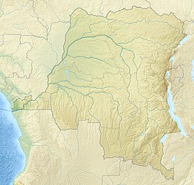
Matupi Cave
Appearance
| Matupi Cave | |
|---|---|
| Location | Democratic Republic of the Congo |
| Coordinates | 1°11′36″N 30°00′30″E / 1.193327°N 30.008462°E |
Matupi Cave is a cave in the Mount Hoyo massif of the Ituri Rainforest, Democratic Republic of the Congo, where archaeologists have found evidence for Later Stone Age human occupation spanning over 40,000 years.[1] The cave has some of the earliest evidence in the world for microlithic tool technologies.[2][3]
Ecological context
Today, although Matupi Cave is located in the rainforest, evidence shows that the region used to be savanna. Between 12,000 and 3,000 BP, rainforests began to emerge.[3][4]
See also
References
- ^ Noten, Francis Van (1977-03-01). "Excavations at Matupi cave". Antiquity. 51 (201): 35–40. doi:10.1017/S0003598X00100572. ISSN 0003-598X.
- ^ Shaw, Ian; Jameson, Robert (1999). A Dictionary of Archaeology. Blackwell. pp. 30.
- ^ a b The Archaeology of Africa: Food, Metals and Towns (One World Archaeology). Routledge. 1995. p. 297. ISBN 978-0415115858.
- ^ Bednarik, Robert; Beaumont, Peter (January 2012). "Pleistocene Engravings from Wonderwerk Cave, South Africa". ResearchGate.

