
Sindaghatta
Sindhagatta is a village in the Mandya district of Karnataka state, India.
.jpg)
Location[edit]
Sindhagatta is located on the road from Krishnarajpet to Melukote.
PIN code[edit]
There is a post office in the village and the postal code is 571426.
Demographics[edit]
According to the 2011 census of the Government of India, Sindhagatta village has an area of 1,520 hectares. The total population of the village is 3,464 and there are 828 houses in it.
Constituent suburbs[edit]
- Chikkanayakanahalli
- Hathimaranahalli
- Kyathanahalli
- Maruvanahalli
- Molenahalli
- Thammadahalli
- Uygonahalli
Gallery[edit]
-
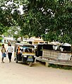 Bus stop
 -
 Vasanthapura
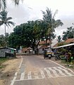
 -
 Neethimangala
 -
 Melkoute Road
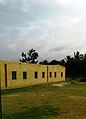
 -
 Harlahalli
.jpg)
.jpg)
.jpg)
.jpg)

References[edit]
12°41′55″N 76°33′04″E / 12.698566°N 76.551051°E
This article related to a location in Mandya district, Karnataka, India is a stub. You can help Wikipedia by expanding it. |