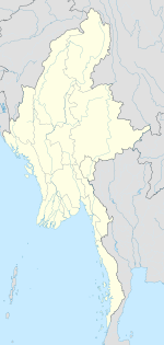
Paungbyin
Appearance
Paungbyin
ဖောင်းြင် Pyaungbin, Phaungbyin | |
|---|---|
Town | |
| Coordinates: 24°16′06″N 94°48′54″E / 24.26833°N 94.81500°E | |
| Country | |
| Region | |
| District | Mawlaik |
| Township | Paungbyin Township |
| Elevation | 146 m (482 ft) |
| Time zone | UTC+6.30 (MST) |
Paungbyin,[1] also known as Pyaungbin[2] or Phaungbyin, is a town in Mawlaik District, Sagaing Division, of Myanmar, on the Chindwin River. It is the principal town of Paungbyin Township.
References
[edit]External links
[edit]- Map of Sagaing Division Asterism
- "Paungbyin Map — Satellite Images of Paungbyin" Maplandia


