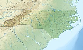
Tuttle Educational State Forest
Appearance
| Tuttle Educational State Forest | |
|---|---|
IUCN category VI (protected area with sustainable use of natural resources) | |
 Forest ranger in front of a 175-year-old Water Oak cross section on exhibit. | |
| Location | Caldwell, North Carolina, United States |
| Coordinates | 35°51′12″N 081°38′15″W / 35.85333°N 81.63750°W |
| Area | 288 acres (117 ha)[1] |
| Governing body | North Carolina Forest Service |
| Website | Tuttle Educational State Forest |
Tuttle Educational State Forest (TESF) is a 288-acre (1.17 km2) North Carolina State Forest near Lenoir, North Carolina.[1]
References
- ^ a b "NC Forest Service Natural Assets" (PDF). North Carolina Department of Agriculture & Consumer Services. January 23, 2014. p. 15. Retrieved September 24, 2015.
External links
Categories:
- IUCN Category VI
- North Carolina state forests
- State forests of the Appalachians
- Protected areas of Caldwell County, North Carolina
- Education in Caldwell County, North Carolina
- Open-air museums in North Carolina
- North Carolina geography stubs
- Southern United States protected area stubs
- Western North Carolina geography stubs

