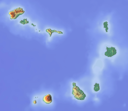
Ilhéu Laje Branca
Appearance
This article needs additional citations for verification. (September 2016) |
| Geography | |
|---|---|
| Location | Atlantic Ocean |
| Coordinates | 15°18′47″N 23°08′13″W / 15.313°N 23.137°W |
| Length | 0.08 km (0.05 mi) |
| Width | 0.07 km (0.043 mi) |
| Highest elevation | 5 m (16 ft) |
| Administration | |
| Municipality | Maio |
| Demographics | |
| Population | 0 |
Ilhéu Laje Branca is an uninhabited islet near the north coast of Maio Island, Cape Verde. It lies about 350 metres (0.22 miles) from the coast. It is part of the protected area Parque Natural do Norte da Ilha do Maio, and hosts a colony of white-faced storm petrel.[1][2]
References
[edit]- ^ Áreas protegidas Maio, Maio Biodiversity Foundation
- ^ Pedreiro-azul


