Jardins
Appearance
You can help expand this article with text translated from the corresponding article in Portuguese. (August 2017) Click [show] for important translation instructions.
|
Jardins | |
|---|---|
São Paulo region | |
 Jardins region view from above | |
| Coordinates: 23°34′21″S 46°40′45″W / 23.57250°S 46.67917°W | |
| Country | |
| Region | Southeast |
| State | |
| Municipality | |
| Administrative Zone | West |
| Subprefecture | Pinheiros |
| District | Jardim Paulista |
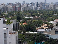
Jardins (Portuguese for Gardens) is the name given to an upper class region of São Paulo city, which includes the neighbourhoods all comprised within the Subprefecture of Pinheiros:
- Jardim Paulista - in the Jardim Paulista district
- Jardim América - in the Jardim Paulista district
- Jardim Europa - in the Pinheiros district
- Jardim Paulistano - in the Pinheiros district
Additionally, certain sections of Cerqueira César, located in the south area of Avenida Paulista are also considered as an integral part of the Jardins region.
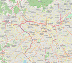
Jardins is limited by the following roads: Rebouças Avenue, River Pinheiros Marginal Avenue, Brigadeiro Luís Antônio Avenue and Paulista Avenue. It is considered one of the noblest areas of São Paulo.
Jardins is home to many museums, such as the São Paulo Museum of Image and Sound, the Ema Gordon Klabin Cultural Foundation, the Museum of the Brazilian House and the Brazilian Museum of Sculpture.
Gallery
-
Jardim Paulistano
-
Jardim Europa
-
Jardim America
-
Oscar Freire Street
External links


