Camberwell Green
51°28′30″N 0°05′35″W / 51.475°N 0.093°W


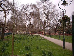
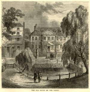
Camberwell Green is a small area of common land in Camberwell, south London. It lies at the junction of Camberwell Road and Camberwell New Road/Camberwell Church Street. At the north-east of the Green is Camberwell Magistrate's Court, and at the north-west is a home for the elderly. To the south-west, and overlooking the Green, is a parade of shops including banks and restaurants. The Green was originally ancient common land. It was bought by Camberwell Parish Vestry in the late 19th century to protect it from development. Camberwell Green is also the name of the London Borough of Southwark electoral ward around the Green.
See also
External links

