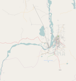
Tizaung
Appearance
Tizaung | |
|---|---|
Village | |
| Coordinates: 21°58′N 95°36′E / 21.967°N 95.600°E | |
| Country | |
| Region | Sagaing Region |
| District | Sagaing District |
| Township | Myinmu Township |
| Time zone | UTC+6.30 (MST) |
Tizaung is a village in the southeast of the Sagaing Division in Burma. It is located about 2 miles northeast of the township centre of Myinmu by road. The settlement of Paukka also lies by road to the east.
Tizaung contains a notable pagoda.[1]
References
- ^ Historical sites in Burma. Ministry of Union Culture, Govt. of the Union of Burma. 1978. p. 40.


