
Goomburra, Queensland
| Goomburra Queensland | |||||||||||||||
|---|---|---|---|---|---|---|---|---|---|---|---|---|---|---|---|
 Goomburra | |||||||||||||||
| Coordinates | 28°02′38″S 152°07′14″E / 28.0438°S 152.1205°E | ||||||||||||||
| Population | 256 (SAL 2021)[1] | ||||||||||||||
| Postcode(s) | 4362 | ||||||||||||||
| Area | 194.5 km2 (75.1 sq mi) | ||||||||||||||
| LGA(s) | Southern Downs Region | ||||||||||||||
| State electorate(s) | Southern Downs | ||||||||||||||
| Federal division(s) | Maranoa | ||||||||||||||
| |||||||||||||||
Goomburra is a town and a locality in the Southern Downs Region, Queensland, Australia.[2][3]
Inverramsay is a neighbourhood in Goomburra (28°00′33″S 152°14′20″E / 28.0092°S 152.2389°E).[4]
Geography
Goomburra is on the Darling Downs. It is the valley of Dalrymple Creek which flows from east to west away from the Great Dividing Range towards Allora. The creek eventually becomes a tributary of the Condamine River, part of the Murray-Darling river system.[5]
History
The town's name came from the name of a pastoral run operated by pastoralist Patrick Leslie from 1840 to 1841. It is an Aboriginal word which is either a corruption of gooneburra meaning fire black tribe, or which means a shield derived from the kurrajong tree.[2]
Goomburra State School opened on 25 April 1881. It closed temporarily in 1905 due to low student numbers. It closed permanently on 14 June 1925.[6]
Goomburra Township Provisional School opened on 10 March 1904. On 1 January 1909 it became Goomburra Township State School. Following a fire which destroyed the school, it was closed on 3 January 1972.[6]
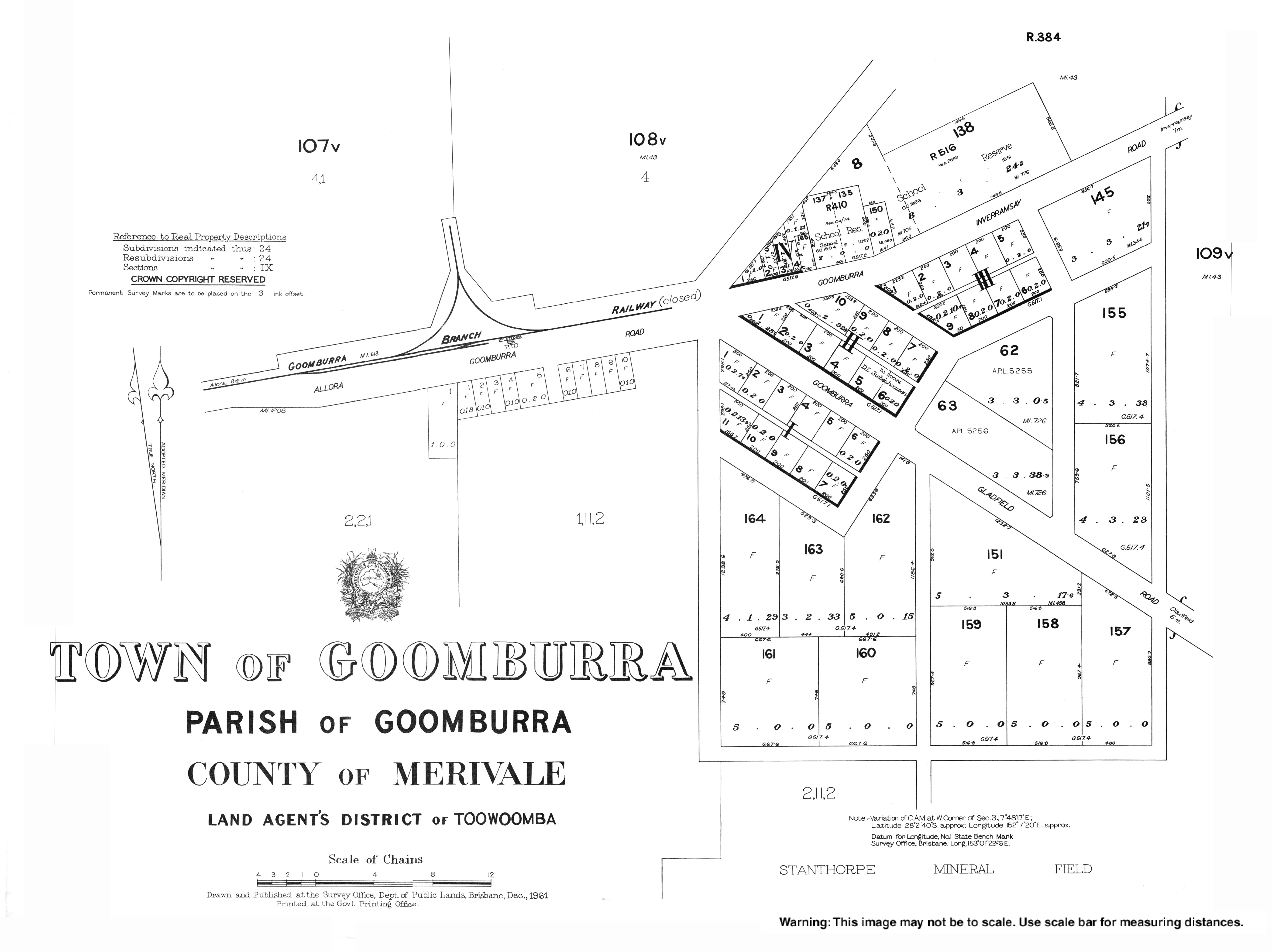
Goomburra was the terminus of the Goomburra railway line which opened in 1912 and closed in 1961.
Inverramsay State School opened on 2 February 1914 and closed on 22 August 1965.[6]
On 31 December 1919 in the public hall, Littleton Groom (the member for Darling Downs) unveiled the town's honour board, listing the 32 names of those who had performed military service in World War I including 10 who died in the war.[7]
References
- ^ Australian Bureau of Statistics (28 June 2022). "Goomburra (suburb and locality)". Australian Census 2021 QuickStats. Retrieved 28 June 2022.
- ^ a b "Goomburra – town in Southern Downs Region (entry 14268)". Queensland Place Names. Queensland Government. Retrieved 8 November 2017.
- ^ "Goomburra – locality in Southern Downs Region (entry 49202)". Queensland Place Names. Queensland Government. Retrieved 8 November 2017.
- ^ "Inverramsay – unbounded locality in Southern Downs Region (entry 43494)". Queensland Place Names. Queensland Government. Retrieved 23 January 2020.
- ^ "Queensland Globe". State of Queensland. Retrieved 30 December 2017.
- ^ a b c Queensland Family History Society (2010), Queensland schools past and present (Version 1.01 ed.), Queensland Family History Society, ISBN 978-1-921171-26-0
- ^ "HONOUR BOARDS". The Brisbane Courier. Queensland, Australia. 3 January 1920. p. 7. Retrieved 21 May 2020 – via Trove.