Ayub National Park
Appearance
| Ayub National Park | |
|---|---|
| Topi Rakh Park | |
| Location | Jhelum road, Rawalpindi, Pakistan |
| Nearest city | Rawalpindi |
| Coordinates | 33°20′N 73°15′E / 33.333°N 73.250°E |
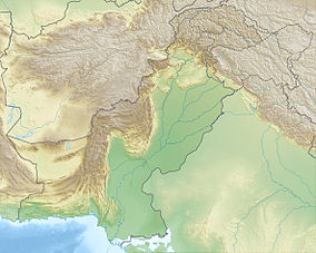
Ayub National Park, commonly known as Ayub Park or historically Topi Rakh Park (Rakh lit. reserve in Potwari), named after the Pakistani president and general Ayub Khan, is a national park located on Jhelum road not far away from the old presidency in Rawalpindi, Pakistan. The park was established before the creation of Pakistan and covers an area of 2,300 acres (930 ha)[dubious – discuss] acres.[1][2]
It has a play area, lake with boating facility, an aquarium, a garden-restaurant and an open-air theater. This park hosts "The Jungle Kingdom" which is particularly popular among young residents of the city.[3]
See also
References
- ^ "Ayub Park introduces jungle barracks for night stay". Daily Times. 2007-05-21. Retrieved 2012-01-15.
- ^ "Brazilian ambassador visits Ayub Park". Thenews.com.pk. Retrieved 2012-01-15.
- ^ "Two tiger cubs draw crowds to Rawalpindi park – The Express Tribune". Tribune.com.pk. Retrieved 2011-12-23.

