Caixa (São Vicente)
Appearance
| Caixa | |
|---|---|
 Tope de Caixa in the island of São Vicente | |
| Highest point | |
| Elevation | 535 m (1,755 ft) |
| Coordinates | 16°49′29″N 24°59′48″W / 16.8246°N 24.9968°W |
| Geography | |
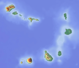
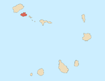
southern São Vicente island, Cape Verde | |
Caixa is a mountain in the southern part of the island of São Vicente.It is situated 7 km south of the city centre of Mindelo. Its elevation is 535 metres (1,755 ft).[1]


