Diego Aracena International Airport
Appearance
Diego Aracena International Airport [Aeropuerto Internacional Diego Aracena] Error: {{Lang}}: text has italic markup (help) | |||||||||||
|---|---|---|---|---|---|---|---|---|---|---|---|
 | |||||||||||
| Summary | |||||||||||
| Airport type | Public / Military | ||||||||||
| Operator | A-port Operaciones S.A. | ||||||||||
| Serves | Iquique, Chile | ||||||||||
| Elevation AMSL | 47 m / 154 ft | ||||||||||
| Coordinates | 20°32′07″S 070°10′53″W / 20.53528°S 70.18139°W | ||||||||||
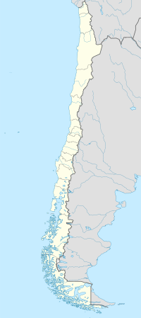
| Map | |||||||||||
| Runways | |||||||||||
| |||||||||||
Diego Aracena International Airport (Spanish: Aeropuerto Internacional Diego Aracena) (IATA: IQQ, ICAO: SCDA) is an airport in Iquique,[1] the capital city of the Tarapacá Region in Chile. The airport is located 48 kilometres (30 mi) south of the city. It shares a runway with Los Cóndores Air Base (Base Aérea Los Cóndores), home to the First Air Brigade of the Chilean Air Force (Fuerza Aérea de Chile).
Facilities
The airport resides at an elevation of 155 feet (47 m) above mean sea level. It has one runway designated 18/36 with an asphalt surface measuring 3,350 by 45 metres (10,991 ft × 148 ft).[1]
Airlines and destinations
| Airlines | Destinations |
|---|---|
| Amaszonas | Santa Cruz de la Sierra-Viru Viru, La Paz |
| Amaszonas operated by Amaszonas Paraguay | Asunción |
| Andes Líneas Aéreas | Seasonal: Salta |
| LATAM Chile | Antofagasta, Arica, Calama, La Paz, Santa Cruz de la Sierra-Viru Viru, Santiago de Chile |
| Sky Airline | Antofagasta, Arica, Arequipa, Copiapó, Santiago de Chile |
References
- ^ a b c Template:WAD
- ^ Airport information for IQQ at Great Circle Mapper. Source: DAFIF (effective October 2006).
- ^ Airport information for Diego Aracena International Airport at Transport Search website.

