
Goldens Bridge station
Goldens Bridge | ||||||||||||||||||||||||||
|---|---|---|---|---|---|---|---|---|---|---|---|---|---|---|---|---|---|---|---|---|---|---|---|---|---|---|
 | ||||||||||||||||||||||||||
| General information | ||||||||||||||||||||||||||
| Location | 1 Old Bedford Road at I-684 Goldens Bridge, New York | |||||||||||||||||||||||||
| Coordinates | 41°17′40″N 73°40′39″W / 41.2945°N 73.6776°W | |||||||||||||||||||||||||
| Line(s) | ||||||||||||||||||||||||||
| Platforms | 1 island platform | |||||||||||||||||||||||||
| Tracks | 2 | |||||||||||||||||||||||||
| Construction | ||||||||||||||||||||||||||
| Parking | 500+ meter spaces, 400+ permit | |||||||||||||||||||||||||
| Accessible | Yes | |||||||||||||||||||||||||
| Other information | ||||||||||||||||||||||||||
| Fare zone | 6 | |||||||||||||||||||||||||
| History | ||||||||||||||||||||||||||
| Electrified | 1984 700V (DC) third rail | |||||||||||||||||||||||||
| Passengers | ||||||||||||||||||||||||||
| 2007 | 296,944 | |||||||||||||||||||||||||
| Services | ||||||||||||||||||||||||||
| ||||||||||||||||||||||||||
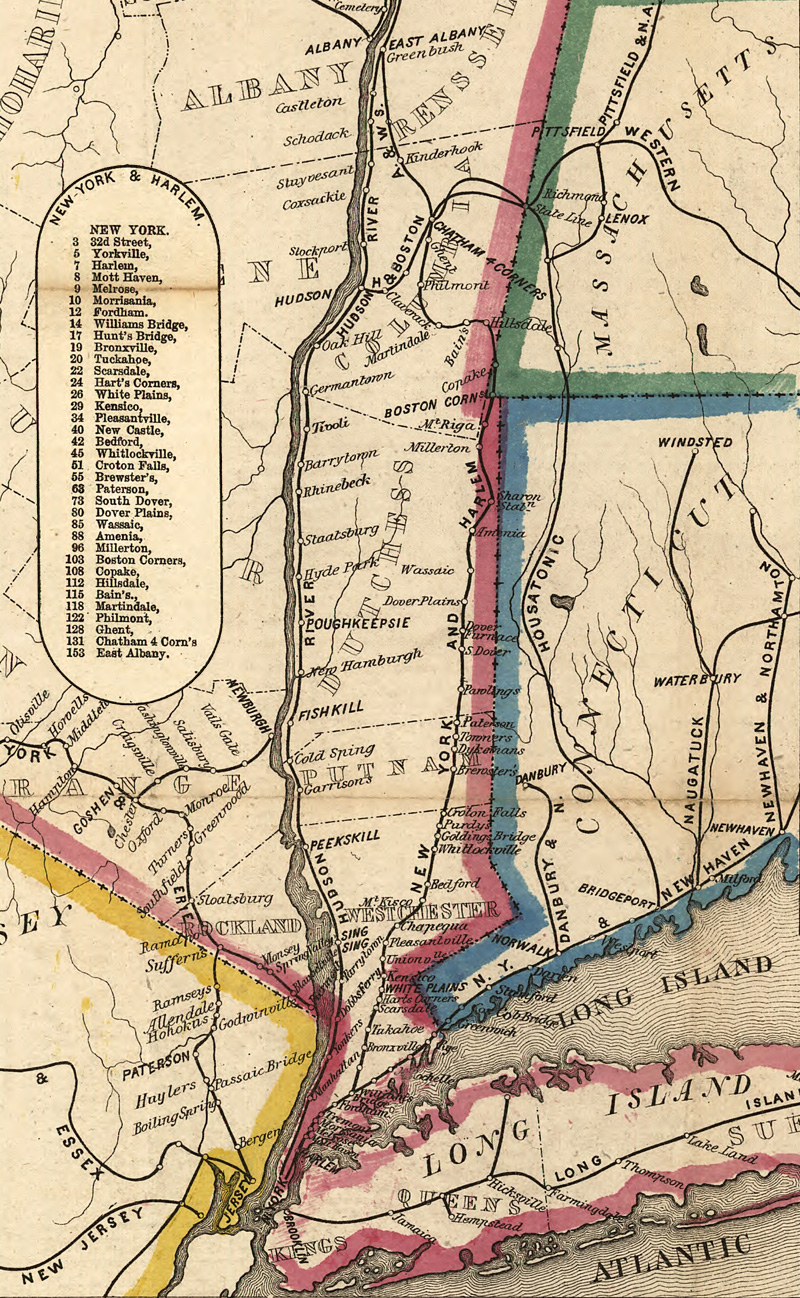
The Goldens Bridge Metro-North Railroad station serves the residents of Goldens Bridge, New York via the Harlem Line. It is 43.7 miles (70.3 km) from Grand Central Terminal and the average travel time to Grand Central is one hour, nine minutes. The station is located adjacent to Interstate 684 and is accessible to northbound travelers via Exit 6A (Routes 22 / 138).
This station is the northernmost station in the Zone 6 Metro-North fare zone.
Parking lots are available on both sides of the interstate; a parking permit or a daily fee is required. Metered parking fills up around 7:30 every morning on business days. Free parking is available on weekends and holidays. From trains in the vicinity of the station, it is possible to see the historic Bridge L-158 over Muscoot Reservoir. Once part of the railroad's Mahopac Branch, it is the only double-intersection Whipple truss rail bridge left in the state.
History
The New York and Harlem Railroad laid tracks for their main line through Golden's Bridge as far back as 1847. A station is known to have existed as far back as 1858[1], but may have existed earlier. The line was acquired by the New York Central and Hudson River Railroad in 1864. In 1871, the vicinity of the station became a junction for the New York and Mahopac Railroad, a New York Central subsidiary better known as the Mahopac Branch, which connected the Harlem Division via Katonah to the Putnam Division in Mahopac. The New York Central-era station contained a water tower, a turntable, a privy, and an interlocking cabin known as "Cabin GN." The main station house was located where the southbound on-ramp to I-684 ends at the main road today. Among the industries used by the station were King Lumber and Plywood Supply[2][3] and Sheffield Farms.[4] The line was double-tracked from White Plains to Golden's Bridge in 1902, and then double-tracked to Brewster in 1909.[5] In 1904, the nearby bridge for the Mahopac Branch over the Muscoot Reservoir, was replaced with Bridge L-158, a bridge originally used for the former West Shore Line at the mouth of Rondout Creek in Kingston. Between 1901 and 1915, the station was also intended to be the western terminus of the unfinished Danbury and Harlem Traction Company, a trolley line intended to connect the station to Danbury, Connecticut.[6]
The last train along the Mahopac Branch ran in 1959, and the branch was abandoned in 1960. Sometime during the late-1950s[when?] the former Richardson Romanesque depot was replaced with a simple brick structure. The privy was bought by actor James Cagney and moved to his farm in Dutchess County, New York.[7] As with most of the Harlem Line, the merger of New York Central with Pennsylvania Railroad in 1968 transformed the station into a Penn Central Railroad station. Penn Central's continuous financial despair throughout the 1970s forced them to turn over their commuter service to the Metropolitan Transportation Authority. Construction of the last segment of Interstate 684 in the mid-1970s eliminated two grade crossings, one of which was replaced by a long bridge for New York State Route 138 over New York State Route 22, the interstate, the Harlem Line itself, and an access road between two parking lots. This bridge also contained a staircase to the main parking lot. Penn Central folded into Conrail in 1976, and the MTA converted the station and line part of Metro-North in 1983, who from that point on rebuilt the station as part of their electrification project to Southeast in 1984.
Station layout
This station has one eight-car-long high-level island platform serving trains in both directions.
| M | Mezzanine | Exit/entrance and parking |
| P Platform level |
Track 2 | ← Harlem Line toward Grand Central (Katonah) |
| Island platform, doors will open on the left or right | ||
| Track 1 | Harlem Line toward Southeast or Wassaic (Purdy's) → | |
References
- ^ 1858 New York and Harlem Railroad Map
- ^ King Lumber: About Us
- ^ DanTD (June 24, 2016). File:Golden's Bridge MNRR station-3.jpg (photograph). Retrieved January 22, 2018.
{{cite AV media}}: External link in|people= - ^ Grogan, Louis V. (1989). The Coming of the New York and Harlem Railroad. Self-Published. p. 122. ISBN 0-962120- 65-0.
- ^ Grogan, Louis V. (1989). The Coming of the New York and Harlem Railroad. Self-Published. pp. 121–122. ISBN 0-962120- 65-0.
- ^ Danbury and Harlem Traction company (Railroad History and Exploration In the Northeast; Vizettes.com)
- ^ Grogan, Louis V. (1989). The Coming of the New York and Harlem Railroad. Self-Published. p. 122. ISBN 0-962120- 65-0.
External links
![]() Media related to Goldens Bridge (Metro-North station) at Wikimedia Commons
Media related to Goldens Bridge (Metro-North station) at Wikimedia Commons
- Metro-North Railroad - Goldens Bridge
- List of upcoming train departure times and track assignments from MTA
- Waccabuc Road entrance from Google Maps Street View
- Station from I-684 from Google Maps Street View
This New York train station–related article is a stub. You can help Wikipedia by expanding it. |