
Leon, California
Leon now a ghost town, was a gold mining town in northern San Diego County from the 1880s, named for the Leon Mine that lay on a hill to the northwest of the town.[1] Leon became part of southwestern Riverside County in 1893. Leon had its own post office from May 4, 1888 until July 31, 1911 when its post office was moved to Perris, California.[2]
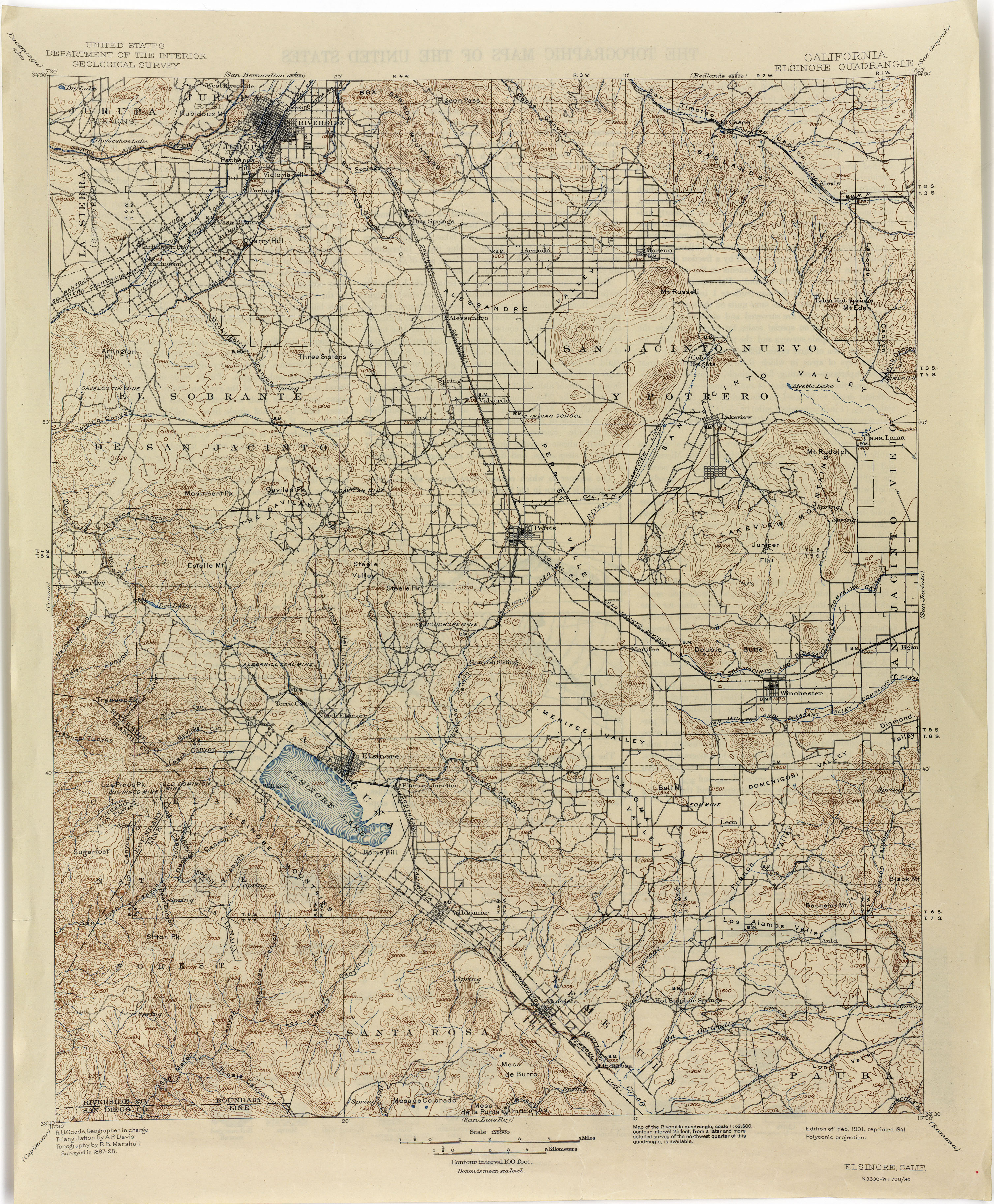
The site of the former mining town is located south of Winchester in the Domenigoni Valley, on Scott Road just east of Leon Road. [3][4]
References
- ^ U.S. Geological Survey Geographic Names Information System: Leon Mine at 33°39′09″N 117°08′08″W / 33.65250°N 117.13556°W
- ^ Frickstad, Walter N., A Century of California Post Offices 1848–1954, Philatelic Research Society, Oakland, CA. 1955, pp. 126–135.
- ^ Perry-Castañeda Library Map Collection, California Topographic Maps, Elsinore 1898 1:125,000 (3.7MB)
- ^ Leon, California, USGS Map Name: Winchester, CA Map Center: 33°38′29″N 117°06′49″W / 33.64139°N 117.11361°W
33°38′29″N 117°6′49″W / 33.64139°N 117.11361°W

This Riverside County, California-related article is a stub. You can help Wikipedia by expanding it. |