
Raisinghnagar tehsil
Raisinghnagar Tehsil is a tehsil of Ganganagar District, Rajasthan, India.[1] It is in the central-western area of the district. Raisinghnagar is the headquarters of the tehsil.
Geography
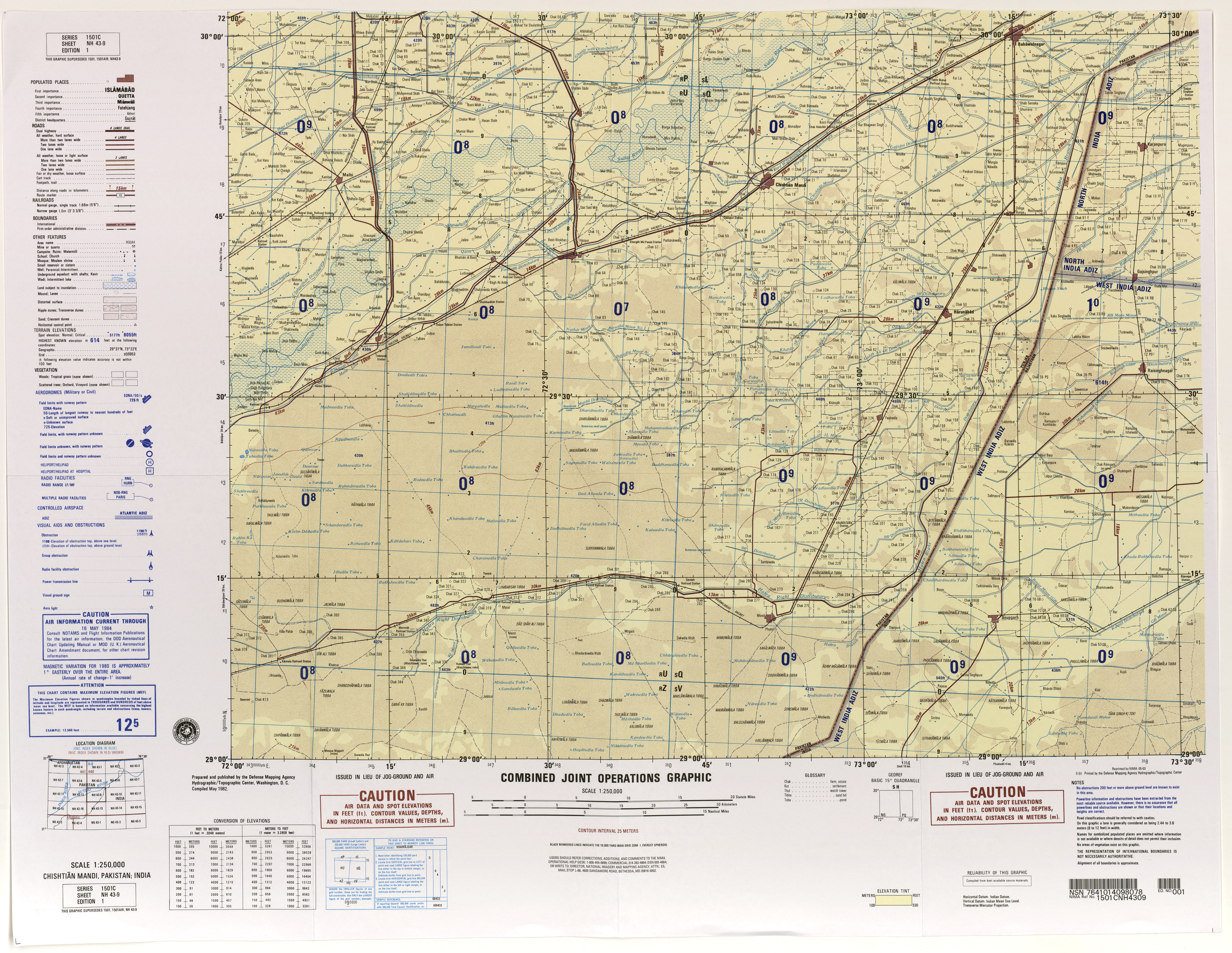
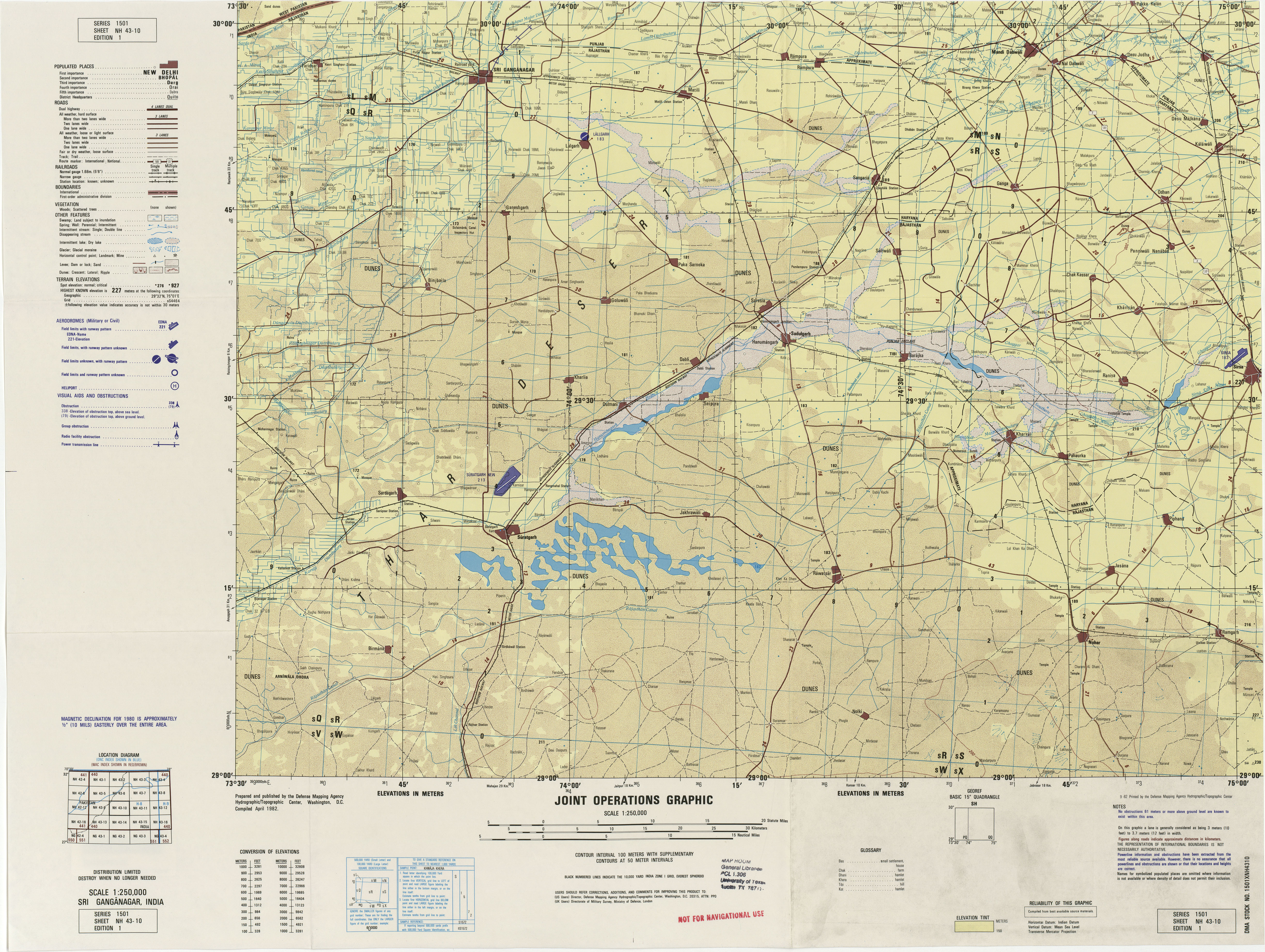
Raisinghnagar Tehsil is bordered by Karanpur Tehsil to the north, by Padampur Tehsil to the north and northeast, by Suratgarh Tehsil to the east, by Vijaynagar Tehsil to the southeast and south, by Anupgarh Tehsil to the south, and Bahawalnagar District of Pakistani Punjab to the west. The waters of the Bikaner Branch of the Gang Canal (Gana Canal) irrigate the farms of this tehsil.[2]
Demographics
In the 2001 India census, Raisinghnagar Tehsil had 185,070 inhabitants, 97,197 (52.5%) males and 87,873 (47.5%) females, for a gender ratio of 904 females per thousand males.[3]
Punjabi and Bagri (a dialect of the Rajasthani language) are spoken.
Places of interest
- Historical Gurudwara Buddha Johad - A large amazing gurudwara. This is a place where Bhai Sukha Singh and Mehtab Singh brought the head of Massa Rangarh (guilty of sacrilege of Amritsar Golden temple) and hung it on a tree on 11 August 1740.[citation needed]
- The Raisinghnagar has a famous Shiv Mandir (Temple) & Singh Sabha Gurdwara.[citation needed]
- Raisinghnagar Tehsil has a famous Tripura Sundari Mata Mandir, (Rajasthan 1st Temple) in Shri Dharam Sangh Sanskrit Mahavidhayal, village kikarwalee, Village 24 P.S., Gajsinghpura Road, in Raisinghnagar.[citation needed]
- Romana park
See also
Notes
- ^ "Rural Ganganagar: SN. Block Names". Ganganagar District.
- ^
- Chishtian Mandi, Pakistan; India, Sheet NH 43-9 (topographic map, scale 1:250,000), Series 1501-C, United States Defense Mapping Agency, May 1984
- Sri Ganganagar, India, Sheet NH 43-10 (topographic map, scale 1:250,000), Series 1501, United States Defense Mapping Agency, April 1982
- ^ "Census 2001 Population Finder: Rajasthan: Ganganagar: Raisinghnagar". Office of The Registrar General & Census Commissioner, Ministry of Home Affairs, Government of India.
This article related to a location in Rajasthan is a stub. You can help Wikipedia by expanding it. |