
Tirroan
| Tirroan Queensland | |||||||||||||||
|---|---|---|---|---|---|---|---|---|---|---|---|---|---|---|---|
 Tirroan | |||||||||||||||
| Coordinates | 25°00′07″S 151°55′46″E / 25.0019°S 151.9294°E | ||||||||||||||
| Population | 150 (SAL 2021)[1] | ||||||||||||||
| Postcode(s) | 4671 | ||||||||||||||
| Area | 16.3 km2 (6.3 sq mi) | ||||||||||||||
| LGA(s) | Bundaberg Region | ||||||||||||||
| State electorate(s) | Callide | ||||||||||||||
| Federal division(s) | Flynn | ||||||||||||||
| |||||||||||||||
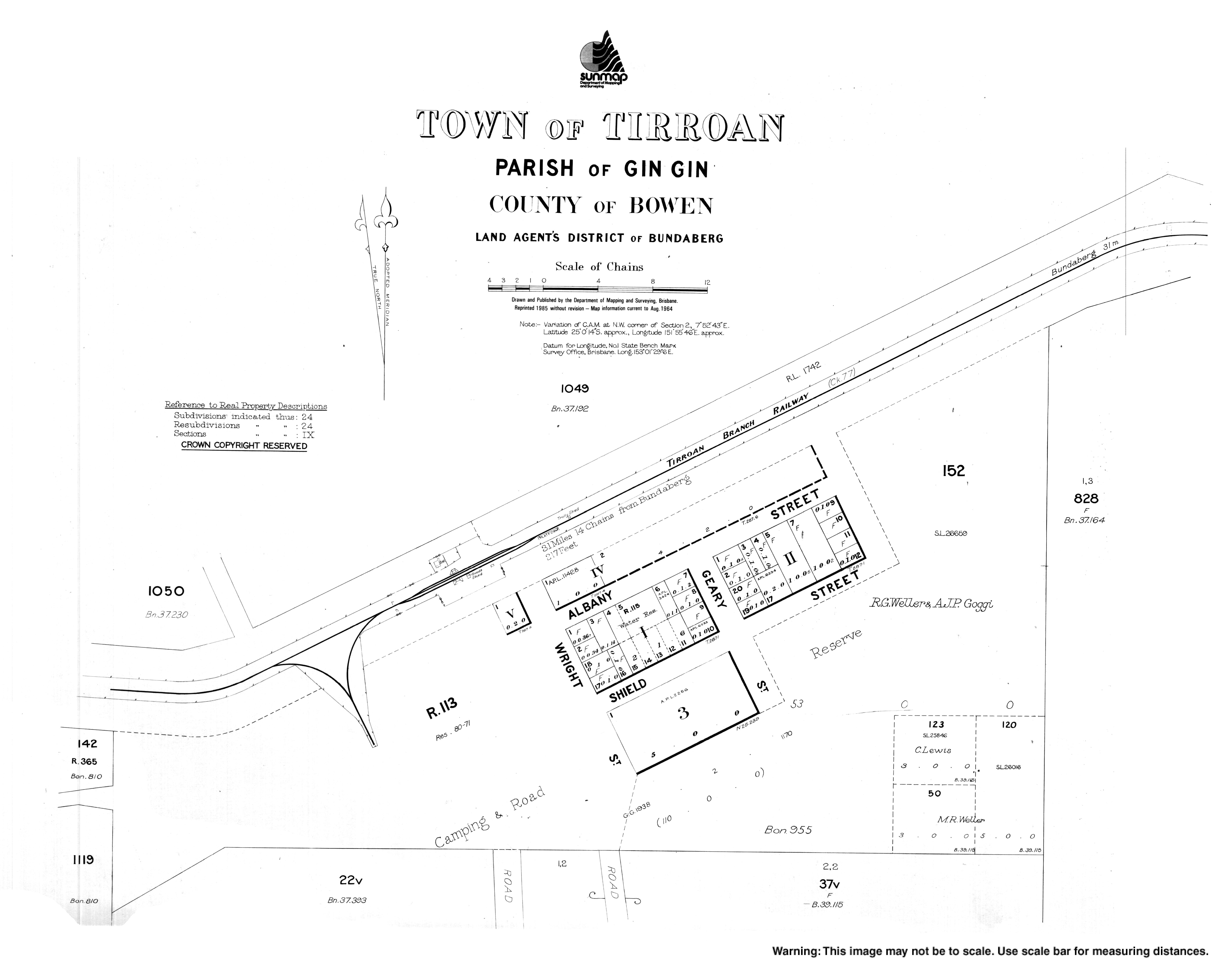
Tirroan is a town and a locality in the Bundaberg Region, Queensland, Australia.[2][3]
History
The town was named after an Aboriginal stockman on Gin Gin pastoral run, who died of tuberculosis in 1880.[2] It was formerly known as West Albany but the name was changed on 3 August 1899.[2][4]
References
- ^ Australian Bureau of Statistics (28 June 2022). "Tirroan (suburb and locality)". Australian Census 2021 QuickStats. Retrieved 28 June 2022.
- ^ a b c "Tirroan – town in Bundaberg Region (entry 47320)". Queensland Place Names. Queensland Government. Retrieved 28 December 2017.
- ^ "Tirroan – locality in Bundaberg Region (entry 44803)". Queensland Place Names. Queensland Government. Retrieved 28 December 2017.
- ^ Queensland Government Gazette, 12 August 1899, page 428.