
File:EnglandLancashire.svg

Size of this PNG preview of this SVG file: 200 × 247 pixels. Other resolutions: 194 × 240 pixels | 389 × 480 pixels | 622 × 768 pixels | 829 × 1,024 pixels | 1,658 × 2,048 pixels.
Original file (SVG file, nominally 200 × 247 pixels, file size: 232 KB)
| This is a file from the Wikimedia Commons. Information from its description page there is shown below. Commons is a freely licensed media file repository. You can help. |
Summary
| Description |
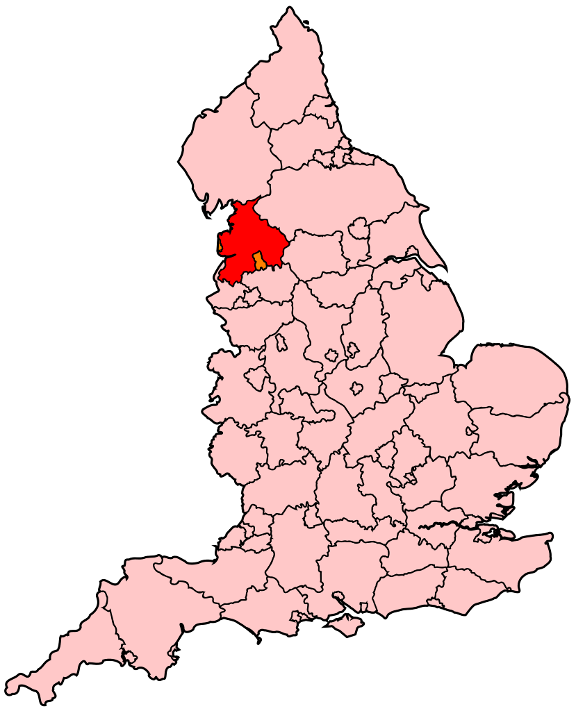
English: Map of Lancashire within England. |
| Source | Own work |
| Author | Wereon |
Licensing
| I, the copyright holder of this work, release this work into the public domain. This applies worldwide. In some countries this may not be legally possible; if so: I grant anyone the right to use this work for any purpose, without any conditions, unless such conditions are required by law. |
File history
Click on a date/time to view the file as it appeared at that time.
| Date/Time | Thumbnail | Dimensions | User | Comment | |
|---|---|---|---|---|---|
| current | 20:31, 22 April 2007 | | 200 × 247 (232 KB) | Wereon | Map of Lancashire within England. Category:Maps of counties of England |
File usage
The following pages on the English Wikipedia use this file (pages on other projects are not listed):
- Blackburn (UK Parliament constituency)
- Blackpool North and Cleveleys (UK Parliament constituency)
- Blackpool North and Fleetwood (UK Parliament constituency)
- Blackpool South (UK Parliament constituency)
- Burnley (UK Parliament constituency)
- Chorley (UK Parliament constituency)
- Fylde (UK Parliament constituency)
- Hyndburn (UK Parliament constituency)
- Lancaster and Fleetwood (UK Parliament constituency)
- Lancaster and Wyre (UK Parliament constituency)
- Morecambe and Lunesdale (UK Parliament constituency)
- Parliamentary constituencies in North West England
- Pendle (UK Parliament constituency)
- Preston (UK Parliament constituency)
- Ribble Valley (UK Parliament constituency)
- Rossendale and Darwen (UK Parliament constituency)
- South Ribble (UK Parliament constituency)
- West Lancashire (UK Parliament constituency)
- Wyre and Preston North (UK Parliament constituency)
Global file usage
The following other wikis use this file:
- Usage on af.wikipedia.org
- Usage on br.wikipedia.org
- Usage on cy.wikipedia.org
- Chorley (etholaeth seneddol)
- Preston (etholaeth seneddol)
- Blackburn (etholaeth seneddol)
- Burnley (etholaeth seneddol)
- Cwm Ribble (etholaeth seneddol)
- De Blackpool (etholaeth seneddol)
- De Ribble (etholaeth seneddol)
- Fylde (etholaeth seneddol)
- Gogledd Blackpool a Cleveleys (etholaeth seneddol)
- Gorllewin Swydd Gaerhirfryn (etholaeth seneddol)
- Caerhirfryn a Fleetwood (etholaeth seneddol)
- Wyre a Gogledd Preston (etholaeth seneddol)
- Hyndburn (etholaeth seneddol)
- Pendle (etholaeth seneddol)
- Morecambe a Lunesdale (etholaeth seneddol)
- Rossendale a Darwen (etholaeth seneddol)
- Usage on en.wikinews.org
- Usage on fr.wikipedia.org
- Usage on hi.wikipedia.org
- Usage on ko.wikipedia.org
- Usage on nn.wikipedia.org
- Usage on pl.wikipedia.org
- Usage on ru.wikipedia.org
- Usage on simple.wikipedia.org
- Usage on uk.wikipedia.org