
Ma'ale Adumim
31°46′30″N 35°17′53″E / 31.77500°N 35.29806°E Template:Infobox Israel muni
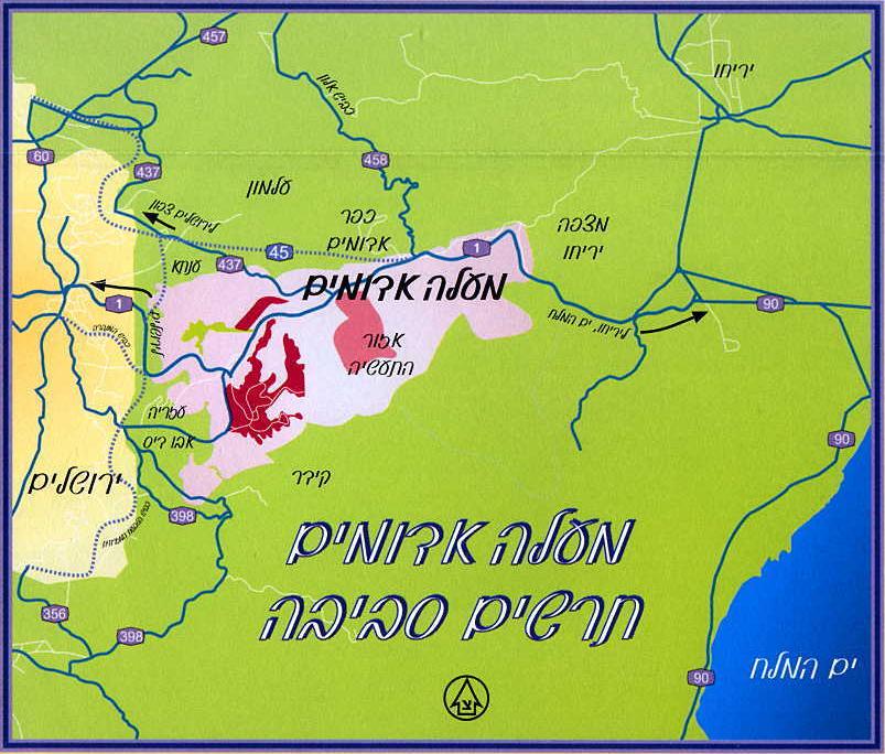
Ma'ale Adumim (Hebrew: מעלה אדומים) is an Israeli Settlement and city located east of Jerusalem in the West Bank and on the edge of the Judean desert. It is located within the boundaries of the Gush Etzion Regional Council, but has had its own mayor and municipality independent of the council's jurisdiction since achieving city status in 1991.
History
Ma'ale Adumim was built on land that was classified as "miri," or state-owned, under Ottoman and Jordanian rule.[1] Established in 1976 on territory captured in the 1967 Six-Day War, it was built as a planned community and suburban commuter town to nearby Jerusalem, to which many residents commute daily. According to Israel Central Bureau of Statistics (CBS) figures, the city had a total population of 31,700 in 2006,[2] making it the second largest Israeli city in the West Bank after Modi'in Illit.[3] The mayor of Ma'ale Adumim is Benny Kashriel, recently elected to a third term by a large majority.
The first 23 families moved into Ma'ale Adumim on the seventh night of Hanukkah, 1975, although the town was recognized officially only in 1976. The chief urban planner was architect Rachel Walden. It achieved local council status in March 1979.[4] The city is located along Highway 1, which connects it to Jerusalem as a freeway and the Tel Aviv area. The urban plan for Ma'ale Adumim, finalized in 1983, encompasses a total of 35 square kilometers, of which 3.7 square kilometers have been built so far, in a bloc that includes Ma'ale Adumim, Mishor Adumim, Kfar Adumim, and Allon.[5]
Etymology
Ma'ale Adumim is mentioned in the Joshua 15:7: The boundary [of the tribe of Judah] ascended from the Valley of Achor to Debir and turned north to Gilgal, facing the Ascent of Adumim which is south of the wadi. Literally "Red Heights", it takes its name from the red rock lining the ascent from the Dead Sea[6] and the historic people known as the Edomites.
Demographics
In 2005, the population of Ma'ale Adumim was 33,259.[7] According to CBS figures for 2001, Ma'ale Adumim was 99.8% Jewish. That year, there were 12,700 males and 13,000 females, with 44.1% of the population 19 years of age or younger, 14.2% between 20 and 29, 23.1% between 30 and 44, 12.6% from 45 to 59, 2.1% from 60 to 64, and 3.9% 65 years of age or older. The population growth rate in 2001 was 3.3%. The completion of a new neighborhood, temporarily known as 07, will add approximately 15,000 residents. The population is expected to reach 45,000 in the next few years.
Income
According to the CBS, as of 2000, there were 9,965 salaried workers and 660 self-employed. The mean monthly wage in 2000 for a salaried worker in the city is NIS 6,337, a real change of 8.9% over the course of 2000. Salaried males have a mean monthly wage of NIS 8,153 (a real change of 9.0%) versus NIS 4,615 for females (a real change of 6.3%). The mean income for the self-employed is 7,098. A total of 396 people receive unemployment benefits, and 388 receive income supplements.
Education
According to the CBS, there are 14 schools and 5,793 students in the city, although several more have been added in the last few years. Ma'ale Adumim has 10 elementary schools with 3,524 elementary school students, and 7 high schools with 2,269 high school students. 66.9% of 12th graders were awarded a matriculation certificate in 2001. A large partion of Ma'ale Adumim's budget is spent on education. Schools offer after-school programs, class trips, and tutoring where needed. A special program has been developed for new immigrant children. Additional resources are invested in special education and classes for gifted children, including a special after-school program for honors students in science and math.
Land ownership
Ma'ale Adumim is built on land that was stated-owned under the Turks, during the reign of the Ottoman Empire. It remained state-owned under Jordanian occupation prior to 1967. In the Six-Day War, this territory was conquered by Israel, which again classed it as state land, despite claims of ownership by Palestinian residents of Abu Dis. In 1982, the Jahalin Bedouin who had been living on the outskirts of the city were moved to another site.[5] However, many Bedouin enter the city every day and have jobs there.
The Ma'ale Adumim Magen David Adom ambulance squad is responsible for the entire region from the outskirts of Jerusalem to the Dead Sea, and provides care to Palestinian Arabs and Bedouins living in this area.
Geographic significance
The Palestinians see Ma'ale Adumim as a threat to the territorial continuity of a future Palestinian state due to its strategic location between the northern and southern parts of the West Bank.[8] This claim is disputed by mayor Benny Kashriel and others, who say that continuity is easily attained by circling Ma'ale Adumim to the east.
Currently, Israeli drivers use a bypass road that exits the city to the west, entering Jerusalem through the French Hill Junction or a new tunnel that goes under Mt. Scopus. These routes were built in the wake of the First and Second Intifadas when Palestinian snipers shot at motorists and cars were stoned. The previous road passes through Azariya and Abu Dis.

In March 2005, a report by John Dugard for the United Nations Commission on Human Rights stated that the "three major settlement blocs - Gush Etzion, Ma’ale Adumim and Ariel - will effectively divide Palestinian territory into cantons or Bantustans."[9] Israel denies these charges, and claims the solution is a by-pass road similar to those used daily by Israelis to avoid driving through Arab areas. Ma'ale Adumim is expected to remain under Israeli control in future agreements with the Palestinian Authority.
The 07 development project in east Ma'ale Adumim was supported by Ariel Sharon in 2005. [10] Israeli Foreign Ministry spokesman Mark Regev denied the 07 extension plan is a violation of the roadmap peace plan, under which Israel agreed to freeze all building in the settlements.
A project to link Ma'ale Adumim and Jerusalem, known as the E1 project - short for "East 1," as it appears on old zoning maps - has been criticized by the Palestinian Authority and other parties, including US Secretary of State Condoleezza Rice and US President George W. Bush.[11] The E1 neighborhood, tentatively called Mevaseret Adumim, is slated for completion by 2020, with 3,500-5,000 residential units.[12] The new headquarters for the Judea and Samaria District police, formerly located in the Ras el-Amud neighborhood of Jerusalem, is now under construction there.[13]
Archeology
The Byzantine monastery of Martyrius, one of dozens of monasteries built in the Judean Desert in the early Christian era, is located in Ma'ale Adumim [14] Other archeological sites on the outskirts of Ma'ale Adumim include Khan al-Ahmar [15], also known as the Inn of the Good Samaritan (cited in a parable by Jesus, in Luke 10:30-37), [16] and the remains of the Monastery of St. Euthymius. Khan al-Ahmar is a 16th century Ottoman travelers inn. The Monastery of St. Euthymius, built in the 5th century, was destroyed by the Mamluk sultan Baybars.[17]
References
- ^ http://www.binghamton.edu/history/resources/bjoh/article2b.htm
- ^ CBS 2007
- ^ Report: 12,400 new settlers in 2006
- ^ Ma'ale Adumim website
- ^ a b a b "The Expansion of Ma'ale Adumim". Applied Research Institute of Jerusalem (ARIJ) website.
{{cite web}}: Unknown parameter|accessmonthday=ignored (help); Unknown parameter|accessyear=ignored (|access-date=suggested) (help) - ^ http://www.jr.co.il/ma/history.htm
- ^ http://www.jpost.com/servlet/Satellite?c=JPArticle&cid=1167467697743&pagename=JPost%2FJPArticle%2FShowFull
- ^ Israel's 'linchpin' settlement, BBC, November 12, 2005
- ^ Question of the Violation of Human Rights in the Occupied Arab Territories, Including Palestine, Report to the Commission on Human Rights, John Dugard, 3 March 2005, accessed June 27 2006.
- ^ Sharon pledges settlement growth, 'BBC', April 5, 2005]
- ^ "Rice slams Israel's settlements plans". Ynetnews. March 25, 2005.
- ^ http://www.urbanisrael.com/MaalehAdumim.htm
- ^ http://www.jr.co.il/ma/manews07.htm
- ^ "The Monastery of Martyrius at Ma'ale Adummim," Yitzhak Magen, Israel Antiquities Authority, Jerusalem 1993
- ^ http://www.jr.co.il/ma/manews03.htm
- ^ http://www.travelnet.co.il/israel/Jerusalem/jeru00-TOURS.htm
- ^ http://www.jericho-city.org/etemplate.php?id=19
External links
- Unofficial city website
- Hebrew-language map of Maʻale Adummim
- "Sharon pledges settlement growth", BBC
- Bush warns Israel over West Bank, BBC
- Israel plan for new settler homes, BBC
- History of Ma'aleh Adummim
- UrbanIsrael Site: About Ma'ale Adumim: Historical, Social and Cultural Links
- Peace Now’s Blunder: Erred on Ma'ale Adumim Land by 15,900 Percent
| Cities | ||
|---|---|---|
| Regional committee | ||
| Regional councils | ||
| Local councils | ||
| See also | ||