Ilhéu Derrubado
Appearance
| Geography | |
|---|---|
| Location | Atlantic Ocean |
| Coordinates | 16°13′35″N 22°47′53″W / 16.2263°N 22.798°W |
| Archipelago | Cape Verde |
| Administration | |
| Concelhos (Municipalities) | Boa Vista |
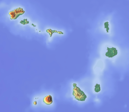
Ilhéu Derrubado is a small uninhabited islet about 300 m (980 ft) off the north coast of the island of Boa Vista, Cape Verde. It is part of the protected area Parque Natural do Norte.[1] Derrubado is also the name of the coastal area near the islet. The nearest settlement is Bofarreira, 5 km (3.1 mi) to the southwest.


