Romanija
Appearance
| Romanija | |
|---|---|
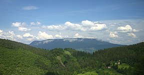
 Landscape in the Romanija mountain | |
| Highest point | |
| Elevation | 1,652 m (5,420 ft) |
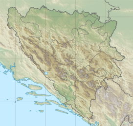
| Coordinates | 43°51′36″N 18°40′12″E / 43.86000°N 18.67000°E |
| Geography | |
| Location | Republika Srpska, Bosnia and Herzegovina |
| Parent range | Dinaric Alps |
Romanija (Serbian Cyrillic: Романија) is a mountain, karst plateau, and geographical region in eastern Bosnia and Herzegovina, including numerous villages and towns, such as Pale, Sokolac, Rogatica and Han Pijesak. Its highest point is Veliki Lupoglav (1,652 m).[citation needed]
A football club from the neighbouring town of Pale bears its name, FK Romanija.
See also
References
Wikimedia Commons has media related to Romanija.


