Bugungu Airstrip
Appearance
Bugungu Airstrip | |||||||||||
|---|---|---|---|---|---|---|---|---|---|---|---|
| Summary | |||||||||||
| Airport type | Public | ||||||||||
| Serves | Murchison Falls National Park | ||||||||||
| Elevation AMSL | 2,472 ft / 753 m | ||||||||||
| Coordinates | 2°12′05″N 31°33′10″E / 2.20139°N 31.55278°E | ||||||||||
| Map | |||||||||||
 | |||||||||||
| Runways | |||||||||||
| |||||||||||
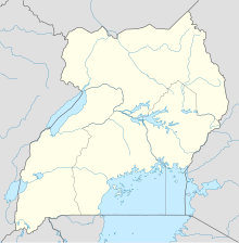
Bugungu Airstrip is an airport serving the Bugungu Wildlife Reserve in the Murchison Falls National Park in Uganda.
Numerous tourist and safari companies charter flights into Bugungu and the nearby Pakuba Airfield.[3][4][5][6]
See also
References
External links

