Gumti River (Tripura)

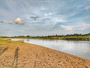
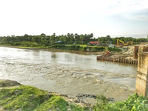
Gumti, Gomti, Gumati or Gomati (Bengali: গোমতী, gomtī/gomôtī) is a river flowing through the north-eastern Indian state of Tripura and Bangladesh. A dam has been constructed near Dumbur on the river that has formed a lake covering 40 square kilometres (15 sq mi).[1]
This article needs additional citations for verification. (December 2006) |

Pictures
References
- ^ Choudhury, A.U. (2009). Gumti –Tripura’s remote IBA. Mistnet 10 (3): 7-8.
Wikimedia Commons has media related to Gumti River.
23°32′N 90°43′E / 23.533°N 90.717°E


