Iron Gates Natural Park
| Iron Gates Natural Park | |
|---|---|
 | |
| Location | Southwestern Romania |
| Coordinates | 44°38′17″N 22°06′22″E / 44.638°N 22.106°E[1] |
| Area | 115,655 hectares (285,790 acres) |
| www | |
| Designated | 5 March 2009 |
| Reference no. | 1946[2] |
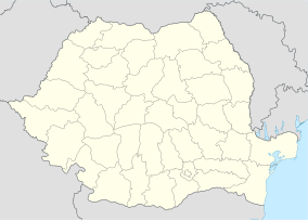
The Iron Gates Natural Park (Romanian: Parcul Natural Porțile de Fier) is a 115,655-hectare (285,790-acre) natural park located in southwestern Romania. It includes the Romanian part of the Iron Gate of the Danube River, and stretches along the left bank of the river in the counties of Caraș-Severin and Mehedinți. Across the river is the Đerdap national park in Serbia. Parcul Natural Porțile de Fier is the largest natural park in Romania, stretching from Socol in the west, to Drobeta Turnu-Severin in the east.
References
Wikivoyage has a travel guide for Iron Gates Natural Park.
- ^ Portile De Fier Natural Park protectedplanet.net
- ^ "Iron Gates Natural Park". Ramsar Sites Information Service. Retrieved 25 April 2018.


