National Highway 206 (India)
| National Highway 206 | |
|---|---|
Map of the National Highway 206 in red | |
 | |
| Route information | |
| Part of | |
| Length | 126 km (78 mi) |
| Major junctions | |
| North end | Jowai |
| South end | Mylliem |
| Location | |
| Country | India |
| States | Meghalaya |
| Highway system | |
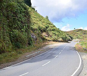
National Highway 206 commonly referred to as NH 206, is a highway in the Indian state Meghalaya.[1] Starting from Jowai near NH 106, it goes via Dawki and ends at Mylliem. It is also a part of Shillong-Sylhet road. It is a spur of National Highway 6.[1]


See also[edit]
References[edit]
- ^ a b "Rationalization of Numbering Systems of National Highways" (PDF). Govt of India. 28 April 2010. Retrieved 21 August 2011.
External links[edit]


