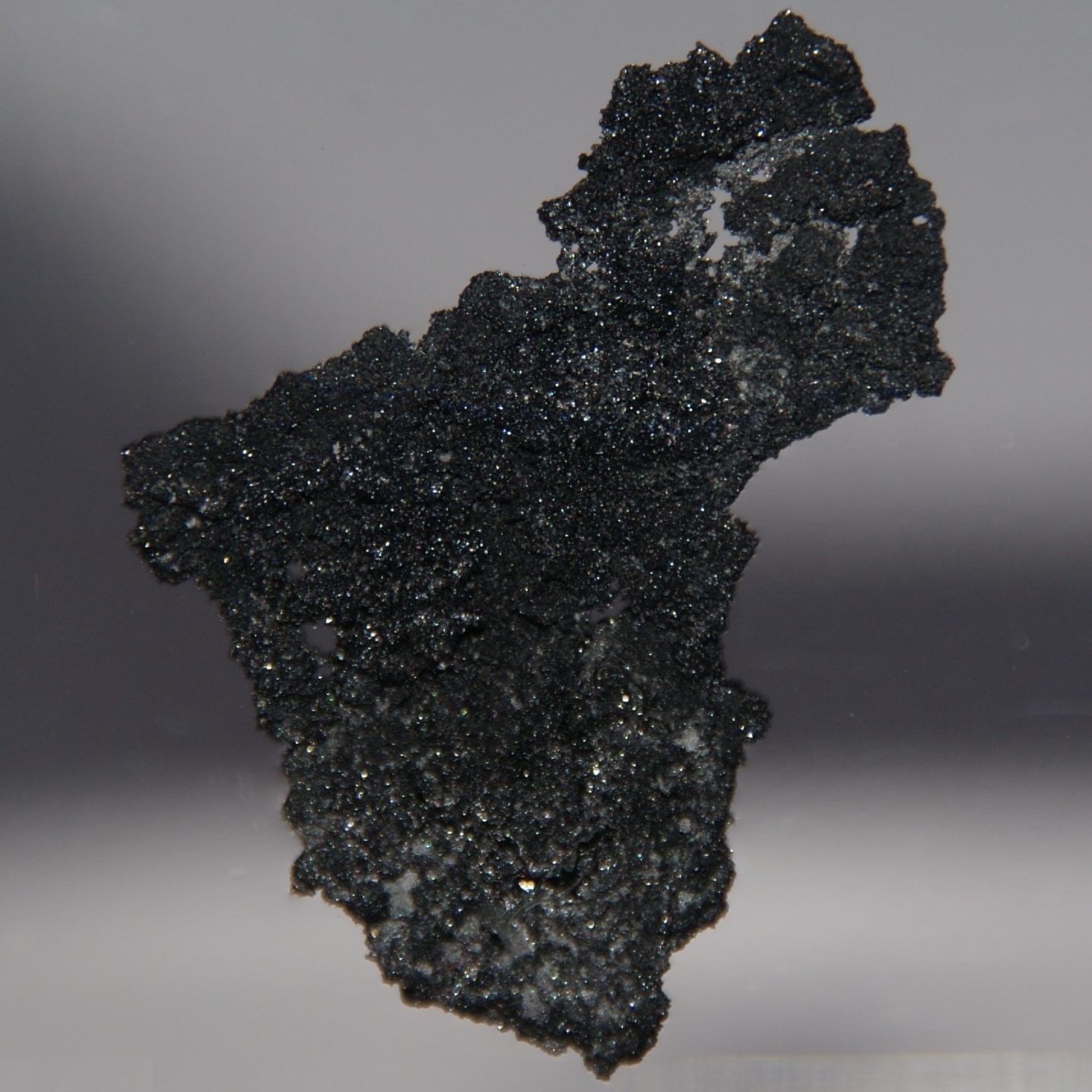
Boron, California: Difference between revisions
DavidPickett (talk | contribs) add reflist |
No edit summary |
||
| Line 54: | Line 54: | ||
}} |
}} |
||
'''Boron''' is a [[census-designated place]] (CDP) in [[Kern County, California|Kern County]], [[California]], [[United States]]. The population was 2,025 at the 2000 census. |
'''Boron''' is a [[census-designated place]] (CDP) in [[Kern County, California|Kern County]], [[California]], [[United States]]. The population was 2,025 at the 2000 census. |
||
[[Image:Boron.jpg]] |
|||
==Geography== |
==Geography== |
||
Revision as of 22:37, 3 February 2008
Boron, California | |
|---|---|
 Location in Kern County and the state of California | |
| Country | United States |
| State | California |
| County | Kern |
| Area | |
| • Total | 13.8 sq mi (35.9 km2) |
| • Land | 13.8 sq mi (35.9 km2) |
| • Water | 0 sq mi (0 km2) |
| Elevation | 2,467 ft (752 m) |
| Population (2000) | |
| • Total | 2,025 |
| • Density | 146.7/sq mi (56.4/km2) |
| Time zone | UTC-8 (Pacific (PST)) |
| • Summer (DST) | UTC-7 (PDT) |
| ZIP codes | 93516, 93596 |
| Area code | 760 |
| FIPS code | 06-07568 |
| GNIS feature ID | 1652674 |
Boron is a census-designated place (CDP) in Kern County, California, United States. The population was 2,025 at the 2000 census.

Geography
Boron is located at the border of Kern and San Bernardino Counties along State Route 58 known locally as the Tehachapi Freeway. The coordinates are: 35°0′55″N 117°39′39″W / 35.01528°N 117.66083°WInvalid arguments have been passed to the {{#coordinates:}} function (35.015177, -117.660799)Template:GR. Boron is 65 miles north of Palmdale, 85 miles east of Bakersfield, and 40 miles west of Barstow in the Antelope Valley region of California's Mojave Desert.
According to the United States Census Bureau, the CDP has a total area of 13.9 square miles (35.9 km²), all of it land.
Demographics
As of the censusTemplate:GR of 2000, there were 2,025 people, 801 households, and 535 families residing in the CDP. The population density was 146.2 people per square mile (56.5/km²). There were 1,103 housing units at an average density of 79.6/sq mi (30.7/km²). The racial makeup of the CDP was 85.04% White, 2.22% Black or African American, 2.86% Native American, 1.58% Asian, 0.10% Pacific Islander, 4.74% from other races, and 3.46% from two or more races. 9.04% of the population were Hispanic or Latino of any race.
There were 801 households out of which 31.2% had children under the age of 18 living with them, 51.7% were married couples living together, 10.2% had a female householder with no husband present, and 33.1% were non-families. 29.1% of all households were made up of individuals and 9.9% had someone living alone who was 65 years of age or older. The average household size was 2.53 and the average family size was 3.11.
In the CDP the population was spread out with 28.0% under the age of 18, 6.7% from 18 to 24, 25.2% from 25 to 44, 26.9% from 45 to 64, and 13.2% who were 65 years of age or older. The median age was 39 years. For every 100 females there were 100.1 males. For every 100 females age 18 and over, there were 101.0 males.
The median income for a household in the CDP was $40,625, and the median income for a family was $44,674. Males had a median income of $47,045 versus $23,854 for females. The per capita income for the CDP was $18,294. About 15.2% of families and 19.7% of the population were below the poverty line, including 32.8% of those under age 18 and 19.4% of those age 65 or over.
Schools
Boron schools are part of the Muroc Joint Unified School District. The local Boron schools include the K – 6 grade West Boron Elementary School, and the 7 – 12th grade Boron High School. Boron High School's Mascot is the Bobcat. Boron's first school, Gephart School[1], was built in 1929. It burned to the ground in 1994.[2]
Trivia
The movie Erin Brockovich (2000), starring Julia Roberts, and various other movies have been filmed in the town and often use citizens as extras.
Boron's primary employer is Rio Tinto Minerals (formerly U.S. Borax). Boron was originally founded as a mining town.
Boron is populated primarily by descendants of Oklahomans who came to California during the Great Depression. Despite its location only hours from Los Angeles, many people in Boron speak with an Oklahoman drawl.
Boron is a hinterland community on the western edge of the Mojave Desert. A unique asset of the location is that within a half day drive you can view the highest or lowest points in the continental United States Mount Whitney and Death Valley, the worlds oldest living organism the Bristlecone Pine, and the cities of both Los Angeles and the Las Vegas metropolitan area.
The Space Shuttle Columbia turned over Boron on its way to Edwards Air Force Base in California in 1981
Boron is also the home of the worlds largest solar power production facility. Florida Power and Light operates five thermal trough technology Solar Electric Generating Stations (SEGS) plants. These units generate enough electricity to provide the electrical needs of 30,000 to 40,000 homes without the use of fossil fuels.[citation needed]
External links
- Boron Chamber of Commerce
- Muroc Joint Unified School District
- West Boron Elementary School
- Boron High School

