Kalmar Airport
Appearance
Kalmar Airport Kalmar flygplats | |||||||||||||||
|---|---|---|---|---|---|---|---|---|---|---|---|---|---|---|---|
 | |||||||||||||||
| Summary | |||||||||||||||
| Airport type | Public | ||||||||||||||
| Operator | Kalmar Municipality | ||||||||||||||
| Location | Kalmar | ||||||||||||||
| Elevation AMSL | 17 ft / 5 m | ||||||||||||||
| Coordinates | 56°41′07″N 16°17′15″E / 56.68528°N 16.28750°E | ||||||||||||||
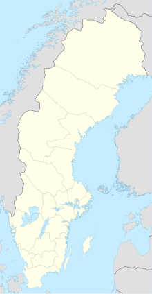
| Map | |||||||||||||||
 | |||||||||||||||
| Runways | |||||||||||||||
| |||||||||||||||
| Statistics (2018) | |||||||||||||||
| |||||||||||||||
Source:[1] | |||||||||||||||
Kalmar Airport (IATA: KLR, ICAO: ESMQ), branded as Kalmar Öland Airport, is an airport in southeastern Sweden. The airport is located only some 5 kilometers west of downtown Kalmar. The airfield was originally the home of the Kalmar Wing (F 12). It is owned and operated by Kalmar Municipality.
Airlines and destinations
The following airlines operate regular scheduled and charter flights at Kalmar Airport:
| Airlines | Destinations |
|---|---|
| Air Dolomiti | Frankfurt |
| Braathens Regional Airlines | Stockholm–Bromma |
| Scandinavian Airlines | Stockholm–Arlanda |
Statistics
Graphs are unavailable due to technical issues. There is more info on Phabricator and on MediaWiki.org. |
Annual passenger traffic at KLR airport.
See Wikidata query.
See also
External links
References
- ^ "Passagerarfrekvens" (in Swedish). Swedish Transport Agency. Retrieved 30 November 2019.

