West Place of Arms
| West Place of Arms | |
|---|---|
| Part of Fortifications of Gibraltar | |
| Corral Road in Gibraltar | |
 Sign on the Glacis Road side of West Place of Arms | |
| Coordinates | 36°08′47″N 5°21′11″W / 36.146283°N 5.353014°W |
| Type | Coastal artillery battery |
| Site information | |
| Owner | Government of Gibraltar |
| Open to the public | Yes |
| Condition | Overgrown |
| Site history | |
| Built by | UK Ministry of Defence |
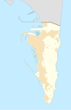
The West Place of Arms is a place-of-arms in the British Overseas Territory of Gibraltar that was originally used as a troop assembly point. It is located in the gap between the North Bastion and its Counterguard, a structure built in 1804.
The Counterguard provided defensive cover for the West Place of Arms, which was also fortified by a ditch into which a large caponier projected. In 1834 the Counterguard was recorded as being armed with thirteen 24-pdrs and two 9-pdrs. They were replaced by ten 32-pdrs and two 8-inch howitzers between 1859 and 1863. By 1885 there were three 32-pdr smoothbore guns, two 8-inch howitzers and four 64-pdr rifled muzzle loaders (RMLs). The other guns were gradually replaced by RMLs in the final years of the 19th century.[1]
References
- ^ Hughes, Quentin; Migos, Athanassios (1995). Strong as the Rock of Gibraltar. Exchange Publications. p. 379.

