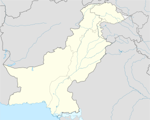
Choran
Choran چوران | |
|---|---|
| Village | |
| Coordinates: 32°35′57″N 72°57′10″E / 32.59917°N 72.95278°E | |
| Country | |
| Province | Punjab |
| District | Jhelum District |
| Village | 1 |
| Government | |
| • Type | Local Gov. |
| • Chairman UC | Naseer Khandoa (PTI) |
| Population | |
| • Total | 1,700 |
| Time zone | UTC+5 (PST) |
| • Summer (DST) | +6 |
Choran (Urduچوران) is a village, union council, and administrative subdivision of Jhelum District in the Punjab Province of Pakistan. It is part of Pind Dadan Khan Tehsil.[1][2]
Location
It is located at 32°35'57N 72°57'10E on the kilometres east from (6.0 km) of River Jhelum, the West from Choran the M2 motorway. lies (15.0 km) The Pind Dadan Khan Tehsil (10.0 km) from the east side of The Khewra salt mine (or (13.0 km) south of Mayo salt mine) is located in the east And is located 15 kilometers east of the interchange of the motorway M2 Lillah- Toba.
Choran Images

Dominant source of income
A view of a field in Choran, Pakistan
Agriculture is the usual source of income.
People
Mostly people of Khandowa tribe are settled here.
People belonging to this village are mostly employees in Pakistan Army
Population
Approximately 5000 people reside in this town.
Languages
The language spoken in Choran is Punjabi with blend of many dialects such as wanhari, pothohari and lunhari.
References


