
Hoo Stack
 Gletness with North Isle of Gletness in the foreground, and Hoo Stack in the background | |
 | |
| Location | Hoo Stack Isle Shetland Scotland United Kingdom |
|---|---|
| Coordinates | 60°14′57″N 1°05′22″W / 60.249180°N 1.089504°W |
| Constructed | 1986 |
| Foundation | concrete base |
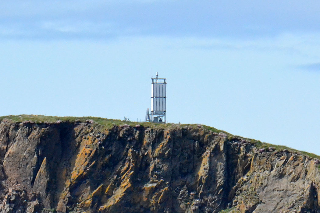
| Construction | metal skeletal tower |
| Height | 8.5 metres (28 ft) |
| Shape | square tower covered by metallic panels with light on the top |
| Markings | white tower |
| Operator | Northern Lighthouse Board[2] [3] |
| Light | |
| Focal height | 40 metres (130 ft) |
| Light source | solar power |
| Range | white: 7 nautical miles (13 km; 8.1 mi) red and green: 5 nautical miles (9.3 km; 5.8 mi)[1] |
| Characteristic | Fl (4) WRG 12s. |
Hoo Stack is a small island off Nesting in Shetland. It is one and a half miles from the North Isle of Gletness. It is 34 metres (112 ft) at its highest point, and is home to a lighthouse, which was built in 1986.
See also
References
- ^ List of Lights, Pub. 110: Greenland, The East Coasts of North and South America (Excluding Continental U.S.A. Except the East Coast of Florida) and the West Indies (PDF). List of Lights. United States National Geospatial-Intelligence Agency. 2015.
- ^ Hoo Stack The Lighthouse Directory. University of North Carolina at Chapel Hill. Retrieved 29 May 2016
- ^ Hoo Stack Light Lighthouses Explorer. Retrieved 29 May 2016
External links
Wikimedia Commons has media related to Hoo Stack.
This Shetland location article is a stub. You can help Wikipedia by expanding it. |