Mercier-Ouest
Mercier-Ouest | |
|---|---|
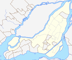
Location of Mercier-Ouest in Montreal | |
| Coordinates: 45°35′45″N 73°30′59″W / 45.5958°N 73.5163°W | |
| Country | Canada |
| Province | Quebec |
| City | Montreal |
| Borough | Mercier-Hochelaga-Maisonneuve |
Mercier-Ouest (French pronunciation: [mɛʁsje wɛst]) is a neighbourhood in Montreal, in the Mercier-Hochelaga-Maisonneuve borough.
Geography
Mercier-Ouest an inner city neighborhood located in the east end of the Island of Montreal. It is one of three districts in the Mercier-Hochelaga-Maisonneuve borough. Mercier-Ouest, like every district in the borough, is mainly composed of working class Québécois with a notable presence of Italian immigrants North of Sherbrooke street (which is a natural extension of St. Leonard). It is bordered by the borough of Anjou to the north east, St.Leonard to the north, the Hochelaga-Maisonneuve district to the west, the St. Lawrence River to the South and the district Mercier-Est to the east. The district is limited by Autoroute 25 to the east and water-bound to the south. The area is largely industrial.

