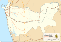
Ratmalana
Appearance
This article needs additional citations for verification. (July 2018) |
Ratmalana
රත්මලාන இரத்மலானை | |
|---|---|
| Coordinates: 06°49′19″N 79°53′10″E / 6.82194°N 79.88611°E | |
| Country | Sri Lanka |
| Province | Western Province |
| District | Colombo District |
| Area | |
| • Total | 13.0 km2 (5.0 sq mi) |
| Population (2012-03-20) | |
| • Total | 95,506 |
| Time zone | UTC+5.30 (SLST) |
| Area code | 011 |
Ratmalana is a suburb in Colombo District, Western Province, Sri Lanka. It is inside the administration boundary of Dehiwala-Mount Lavinia Municipal Council. Ratmalana is situated 14 km south of Colombo city centre. Ratmalana Airport located here was the country's first international airport until the inauguration of Bandaranaike International Airport, Katunayake in 1967. Ratmalana is also the birthplace of Sir John Kotelawala the third Prime Minister of Sri Lanka (then Ceylon) elected in 1953.
References
- "Ratmalana (Divisional Secretariat in Sri Lanka)". Divisional Secretariat of Sri Lanka. Retrieved 2018-11-25.

