Den Helder Zuid railway station
Appearance
Station Den Helder Zuid | ||||||||||||||||
|---|---|---|---|---|---|---|---|---|---|---|---|---|---|---|---|---|
 | ||||||||||||||||
| General information | ||||||||||||||||
| Location | Netherlands | |||||||||||||||
| Coordinates | 52°55′59″N 4°45′50″E / 52.93306°N 4.76389°E | |||||||||||||||
| Line(s) | Den Helder–Amsterdam railway | |||||||||||||||
| History | ||||||||||||||||
| Opened | 31 May 1980 | |||||||||||||||
| Services | ||||||||||||||||
| ||||||||||||||||
| ||||||||||||||||
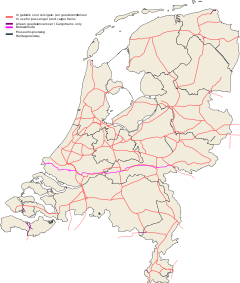
Den Helder Zuid railway station (English: Den Helder South) serves the town of Den Helder, Netherlands. The station opened on 31 May 1980 and is located on the Den Helder–Amsterdam railway. The train services are operated by Nederlandse Spoorwegen. The station has two platforms, of which only one is in use for both directions.
Train services
The station is served by the following service(s):
- 2x per hour Intercity services Den Helder - Amsterdam - Utrecht - Arnhem - Nijmegen
Bus services
These services stop outside the station. For timetables see.[1]
| Line | Route |
|---|---|
| Connexxion | |
| 30 | Den Helder station - Nieuw-Den Helder - Den Helder Zuid station - Julianadorp |
| 31 | Den Helder Zuid station - Den Helder station - Den Helder, Van Egmondstraat |
| 32 | Den Helder station - Nieuw-Den Helder - Den Helder Zuid station - Julianadorp |

