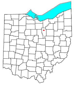
Nankin, Ohio
Appearance

Nankin is an unincorporated community in southern Orange Township, Ashland County, Ohio, United States. Although it is unincorporated, it has a post office, with the ZIP code of 44848.[1] It lies at the intersection of State Routes 58 and 302 and is near U.S. 250.
History
Nankin was originally called Orange, and under the latter name was laid out in 1828.[2] A post office called Nankin has been in operation since 1833.[3]
References
- ^ "Free ZIP Code Lookup with area code, county, geocode, MSA/PMSA, population". zipinfo.com. Retrieved 27 June 2016.
- ^ Baughman, Abraham J. (1909). History of Ashland County, Ohio. S. J. Clarke Publishing Company. p. 175.
- ^ "Ashland County". Jim Forte Postal History. Retrieved 27 December 2015.
40°55′17″N 82°16′55″W / 40.92139°N 82.28194°W

