Putnam County Airport
Appearance
Putnam County Airport | |||||||||||
|---|---|---|---|---|---|---|---|---|---|---|---|
| Summary | |||||||||||
| Airport type | Public | ||||||||||
| Owner | Putnam County Airport Authority | ||||||||||
| Operator | PDM Aviation LLC | ||||||||||
| Location | Greencastle, Indiana | ||||||||||
| Elevation AMSL | 842 ft / 256.6 m | ||||||||||
| Coordinates | 39°37′56″N 86°48′50″W / 39.63222°N 86.81389°W | ||||||||||
| Map | |||||||||||
 | |||||||||||
| Runways | |||||||||||
| |||||||||||
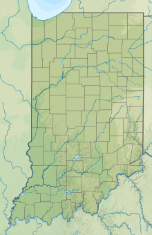
Putnam County Airport (4I7) is a public airport 3 miles (4.8 km) southeast of Greencastle, in Putnam County, Indiana, United States. The airport was founded in January 1947.
References
External links


