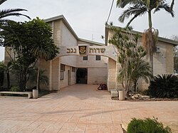
Sdot Negev Regional Council


Sdot Negev Regional Council (Hebrew: מועצה אזורית שדות נגב, Mo'atza Azorit Sdot Negev, lit. Negev Fields Regional Council), formerly known as Azata Regional Council (Hebrew: מועצה אזורית עזתה, Mo'atza Azorit Azata) is a regional council in the northwestern Negev desert in the Southern District of Israel.
The Sdot Negev region council was established in 1951 by the Religious Zionist HaPoel HaMizrahi settlement movement. The council encompasses 16 communities: two kibbutzim, 12 moshavim and two communal settlements.[1]
Despite frequent rocket attacks from the nearby Gaza Strip, the population of the Sdot Negev region has increased 55 percent since 2006.[2] Residents have cited the educational system, atmosphere and rural lifestyle as incentives for moving to this part of the Negev. [3]
List of communities
- Kibbutzim: Alumim · Sa'ad
- Moshavim: Beit HaGadi · Givolim · Kfar Maimon · Mlilot · Sharsheret · Shibolim · Shokeda · Shuva · Tkuma · Yoshivia · Zru'a · Zimrat
- Communal settlements: Magalim · Tushia

