
Ohio State Route 55
 State Route 55 | ||||
|---|---|---|---|---|
 | ||||
| Route information | ||||
| Maintained by ODOT | ||||
| Length | 37.867 mi[1] (60.941 km) | |||
| Existed | 1923–present | |||
| Major junctions | ||||
| West end | ||||
| East end | ||||
| Location | ||||
| Country | United States | |||
| State | Ohio | |||
| Counties | Miami, Champaign | |||
| Highway system | ||||
| ||||
| ||||
State Route 55 (SR 55) is an east–west state route in western Ohio. Its western terminus is near the town of Laura at SR 571, and its eastern terminus is south of downtown Urbana at U.S. Route 68 (US 68).
Route description
[edit]SR 55 starts from an intersection with SR 571 just east of Laura in Union Township. SR 55 starts out in a northeasterly direction by straddling the Ludlow Creek and some woods on the south side, and farmland on the north side, with occasional houses along the way. SR 55 intersects Miami County Road 50, then turns easterly, meeting County Road 9 further east. Bending slightly to the southeast, SR 55 meets Elleman Road, then turns east until it intersects Davis Road, where it shifts to the northeast, and heads into Ludlow Falls. SR 55 maneuvers through this predominantly residential village via Greenville Avenue, Covington Avenue and Friend Street, along which SR 55 meets SR 48 at a T-intersection. Here, SR 55 turns south and departs Ludlow Falls concurrent with SR 48.[2]
SR 55 and SR 48 run together for less than 0.5 miles (0.80 km), crossing Ludlow Creek in the process. SR 55 splits off from SR 48, and resumes an easterly trek through farm country. SR 55 starts to bend northeasterly as it meets Calumet Road, crosses over the Stillwater River, and intersects Kessler-Frederick Road consecutively. Continuing northeasterly, SR 55 has intersections with Greenlee Road and Miami County Road 139. SR 55 departs Union Township, and enters Concord Township, whereupon it meets Horseshoe Bend Road (Miami County Road 39). SR 55 passes an intersection with Miami County Road 132, and then meets Miami County Road 41. At that intersection, SR 55 enters into Troy, and the landscape changes from rural to suburban, with subdivisions dotting the landscape.[2]

SR 55 widens out to a four-lane divided highway at the Barnhart Road intersection, where the highway enters into a more commercial area. Following Fenner Road, SR 55 arrives a diamond interchange with Interstate 75 (I-75). East of I-75, SR 55 almost immediately arrives at the eastern terminus of SR 718, a signalized T-intersection. Past SR 718, SR 55 narrows down to two lanes, and enters into a primarily residential portion of Troy along West Market Street. SR 55 meets South Market Street, the former routing of US 25, and turns northeasterly toward the central business district. Once into downtown Troy, SR 55 intersects SR 41 at a traffic circle in Public Square.[2]
Departing from the traffic circle in a northeasterly fashion, SR 55 intersects Water Street, then immediately crosses the Great Miami River. After crossing the river, SR 55 turns easterly onto Staunton Road from Market Street. While passing to the north of the Miami Shores Golf Course, a series of residential subdivisions abut the north side of SR 55. On the outskirts of Troy, SR 55 meets SR 202 at its northern terminus. Entering into Staunton Township, SR 55 starts to trend northeasterly, with the residential setting yielding to a more rural landscape featuring vast amounts of farmland, with the occasional house situated off of the highway. SR 55 intersects Sayers Road, then crosses into Lostcreek Township. After passing Casstown-Sidney Road, SR 55 arrives in Casstown. Entering into town on Troy Pike, SR 55 turns north onto Main Street, and follows Casstown’s main drag up to the SR 589 junction. SR 55 turns easterly onto Addison Street, while SR 589 northbound begins straight ahead at that intersection.[3]
SR 55 departs Casstown, and continues easterly through Lostcreek Township. Turning northeasterly again, SR 55 passes occasional patches of trees amidst the vast farmland. SR 55 intersects Rugged Hill Road, bends back to the east, then meets Sodom Road. Trending more southeasterly at this point, SR 55 arrives at a T-intersection that marks the northern terminus of SR 201. East of there, SR 55 resumes an easterly path, intersecting Alcony-Conover Road, and crossing into Champaign County.[3]
Into Champaign County, SR 55 makes a brief trip through Jackson Township en route to Christiansburg. SR 55 passes through the community along Pike Street, a primarily residential street. Departing Christiansburg to the east, SR 55 re-emerges into rural Jackson Township. Turning northeasterly, SR 55 passes by Panhandle Road, then curves to the east just prior to meeting SR 235. Vast swaths of farmland and the occasional house compose SR 55’s surroundings east of SR 235, as the highway passes by intersections with St. Paris-New Carlisle Road, Heck Road and Dialton Road. SR 55 next enters into Mad River Township. SR 55 passes through the hamlet of Thackery, briefly turning north at the Hampton-Donnellsville Road intersection there before resuming its easterly course. The highway turns southeasterly where it meets Vance Road, then makes a turn to the northeast in the unincorporated community of Terre Haute at the intersection of Coffin Station Road and Storms Creek Road. The northeasterly trend of this two-lane route continues until Rhodes Road, where SR 55 takes on a more east-northeasterly trend through the intersection with Valley Pike, which also serves as the southern terminus of SR 560.[3]
Proceeding eastward, SR 55 meets Bair Road, then turns northeasterly upon crossing over the Mad River. SR 55 then parallels the Mad River for a stretch, intersecting Hickory Grove Road in the process. Curving ever so slightly to the east, SR 55 meets Old Troy Pike. Turning due east, SR 55 enters into Urbana. The rural setting fades, and SR 55 enters into a more commercialized area along, fittingly, Commercial Street. SR 55 meets US 68 at a T-intersection in the southern portion of Urbana and ends.[3]
Memorial designations
[edit]The portion of SR 55 between SR 571 and SR 48 is designated as the "LCpl Marc L. Cole Memorial Highway",[4] in honor of a Milton-Union High School graduate who was killed in the October 23, 1983 barracks bombing in Beirut, Lebanon, while serving in the Marines. This portion of SR 55 passes by Cole's childhood home.[5][6]
The portion of SR 55 between Troy and Casstown is designated as the "Pfc. Jeffrey L. Rice Memorial Highway",[7] in honor of a Troy High School and Upper Valley Career Center graduate who was killed in Kandahar, Afghanistan, while serving in the Army, on July 19, 2012.[8][9][10]
History
[edit]The SR 55 that exists today is only a shadow of what it was when first designated in the 1920s. SR 55 came into being in 1923.[11][12] Its original routing took it from Troy all the way up to Parma. This route encompassed the current alignment of SR 55 between Troy and Urbana, the current US 36 from Urbana to Delaware, the current US 42 from Delaware to Medina, the current SR 3 from Medina to Hinckley, and the current SR 94 from Hinckley to Parma.[13]
In 1926, SR 55 was extended on the western end along a previously unnumbered road to Ludlow Falls. In that same year, however, the advent of the U.S. Highway System resulted in a major truncation of SR 55 on the east side. Its new eastern terminus became SR 4 southwest of Milford Center.[14][15][16] SR 55 was further truncated on the east end in 1932, when the coming of US 36 resulted in the relocation of SR 55's eastern terminus to downtown Urbana at the traffic circle of US 36, US 68, and SR 29.[17][18] SR 55 formerly had a 1.03-mile-long (1.66 km) concurrency with US 68 at its eastern end until it was truncated by 2013.[19][20]
1937 brought another elongation of SR 55 on the western end. In that year, it was extended from Ludlow Falls to its present western terminus.[21][22]
Major intersections
[edit]| County | Location | mi[1] | km | Destinations | Notes |
|---|---|---|---|---|---|
| Miami | Union Township | 0.000 | 0.000 | ||
| Ludlow Falls | 3.315 | 5.335 | Western end of SR 48 concurrency | ||
| Union Township | 3.786 | 6.093 | Eastern end of SR 48 concurrency | ||
| Troy | 9.741– 9.936 | 15.677– 15.990 | Exit 73 (I-75) | ||
| 10.296 | 16.570 | Eastern terminus of SR 718 | |||
| 11.694– 11.714 | 18.820– 18.852 | Traffic circle | |||
| 13.010 | 20.938 | Northern terminus of SR 202 | |||
| Casstown | 16.083 | 25.883 | Southern terminus of SR 589 | ||
| Lostcreek Township | 19.297 | 31.056 | Northern terminus SR 201 | ||
| Champaign | Jackson Township | 23.509 | 37.834 | ||
| Mad River Township | 32.982 | 53.079 | Southern terminus of SR 560 | ||
| Urbana | 37.867 | 60.941 | |||
1.000 mi = 1.609 km; 1.000 km = 0.621 mi
| |||||
References
[edit]- ^ a b "DESTAPE". Ohio Department of Transportation. August 30, 2017. Retrieved November 18, 2018.
- ^ a b c "Western overview of SR 55" (Map). Google Maps. Retrieved October 27, 2015.
- ^ a b c d "Eastern overview of SR 55" (Map). Google Maps. Retrieved October 27, 2015.
- ^ "5534.85 [Effective 3/20/2019] LCpl Marc L. Cole Memorial Highway". Ohio Revised Code. LAW Writer. March 20, 2019. Retrieved June 29, 2019.
- ^ Bowman, Nancy (June 25, 2018). "Part of state route in Miami County to be renamed for fallen Marine". Dayton Daily News. Retrieved June 28, 2018.
- ^ Ullery, Mike (April 5, 2019). "The sign of a hero". Troy Daily News. Retrieved June 29, 2019.
- ^ "5533.755 [Effective 6/3/2014] Pfc. Jeffrey L. Rice Memorial Highway". Ohio Revised Code. LAW Writer. June 3, 2014. Retrieved April 21, 2014.
- ^ Wedell, Katie (July 22, 2012). "Soldier from Troy killed in Afghanistan". Dayton Daily News. Retrieved April 21, 2014.
- ^ Staff (March 4, 2014). "Two local roads named for local fallen servicemen". WDTN. Retrieved April 21, 2014.
- ^ Bowman, Nancy (May 14, 2014). "Highway dedication honors soldier". Dayton Daily News. Retrieved May 17, 2014.
- ^ Ohio Department of Highways and Public Works (April 1922). Map of Ohio State Highways Showing All Improved Roadways and Indicating System Constructed Under Administration of Gov. Harry L. Davis (PDF) (Map). c. 1:563,200. Columbus: Ohio Department of Highways and Public Works.
- ^ Ohio Department of Highways and Public Works (July 1923). Map of Ohio Showing State Routes (PDF) (Map). 1:760,320. Columbus: Ohio Department of Highways and Public Works.
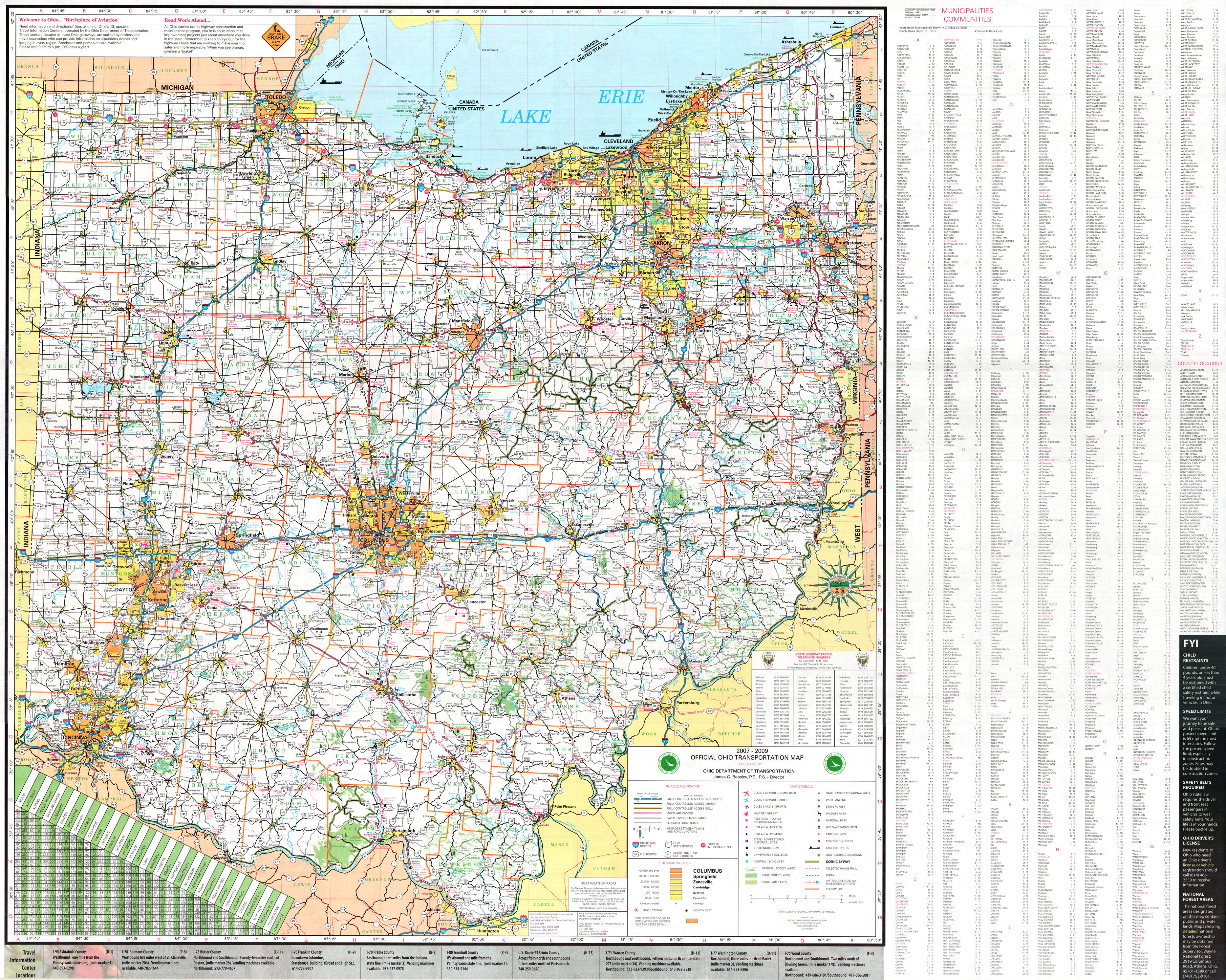
- ^ Ohio Department of Transportation (January 2007). Official Ohio Transportation Map (Map) (2007–2009 ed.). c. 1:570,240. Columbus: Ohio Department of Transportation. OCLC 5673562, 31884639.
- ^ Ohio Department of Highways and Public Works (August 1925). Map of Ohio Showing State Routes (PDF) (Map). 1:760,320. Columbus: Ohio Department of Highways and Public Works. OCLC 5673562.
- ^ Ohio Department of Highways and Public Works (August 1, 1926). Map of Ohio Showing State Routes (PDF) (Map). 1:760,320. Columbus: Ohio Department of Highways and Public Works. OCLC 5673562.
- ^ Ohio Department of Highways and Public Works (June 1, 1927). Map of Ohio Showing State Routes (PDF) (Map). 1:760,320. Columbus: Ohio Department of Highways and Public Works. OCLC 5673562.
- ^ Ohio Department of Highways (1931). Map of Ohio Showing State Highway System (PDF) (Map). 1:760,320. Columbus: Ohio Department of Highways. OCLC 5673562, 7231737.
- ^ Ohio Department of Highways (1932). Map of Ohio Showing State Highway System (PDF) (Map). 1:760,320. Columbus: Ohio Department of Highways. OCLC 5673562, 7231704.
- ^ Ohio Department of Transportation (January 2001). "Technical Services Straight Line Diagrams - SR 55, Champlain County" (PDF). Archived from the original (PDF) on September 24, 2004. Retrieved November 18, 2018.
- ^ "DESTAPE - Champaign County" (PDF). Ohio Department of Transportation. July 16, 2013. Archived from the original (PDF) on July 26, 2014. Retrieved November 18, 2018.
- ^ Ohio Department of Highways (1936). Official Highway Map of Ohio (PDF) (Map). 1:760,320. Columbus: Ohio Department of Highways. OCLC 5673562.
- ^ Ohio Department of Highways (1937). Official Highway Map of Ohio (PDF) (Map). 1:760,320. Columbus: Ohio Department of Highways. OCLC 5673562, 16960304.
External links
[edit] Media related to Ohio State Route 55 at Wikimedia Commons