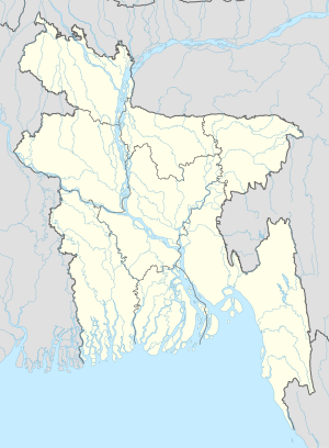
Ashrafpur
Appearance
This article needs additional citations for verification. (June 2019) |
Ashrafpur | |
|---|---|
| Coordinates: 23°55′04″N 90°59′10″E / 23.91778°N 90.98611°E | |
| Country | |
| Division | Chittagong Division |
| District | Brahmanbaria District |
| Time zone | UTC+6 (Bangladesh Time) |
Ashrafpur is a village in Nabinagar Upazila, Brahmanbaria District in the Chittagong Division of eastern Bangladesh.[1] It has an area of 1.8 square kilometres (0.69 sq mi) and a population of 1400.[citation needed] There are two mosques, one school and one madrasah.
References
[edit]

