Chitra River
Appearance
| Chitra River | |
|---|---|
 Chitra River | |
| Location | |
| Country | Bangladesh |
| District | Chuadanga, Jessore, Narail, |
| Physical characteristics | |
| Mouth | |
• location | 23°07′26″N 89°30′13″E / 23.1239°N 89.5035°E |
| Length | 170 km (110 mi) |
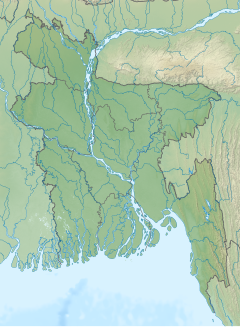
The Chitra River is located in southwestern Bangladesh. It is one of the large coastal rivers of the Ganges-Padma system.[1] The 170-kilometer Chitra joins the Nabaganga, and then flows into the Bhairab River, which in turn joins Atrai River to form the Rupsa River.[2]

References[edit]
- ^ Rob, Md Abdur (2012). "Ganges-Padma River System". In Islam, Sirajul; Jamal, Ahmed A. (eds.). Banglapedia: National Encyclopedia of Bangladesh (Second ed.). Asiatic Society of Bangladesh.
- ^ Baby, Sultana Nasrin (2012). "Chitra River". In Islam, Sirajul; Jamal, Ahmed A. (eds.). Banglapedia: National Encyclopedia of Bangladesh (Second ed.). Asiatic Society of Bangladesh.

