Windy Run
| Windy Run | |
|---|---|
 Windy Run near its confluence with the Potomac | |
| Location | |
| Country | United States |
| State | Virginia |
| County | Arlington County |
| Physical characteristics | |
| Mouth | |
• location | Potomac River |
• elevation | 0 feet (0 m) |
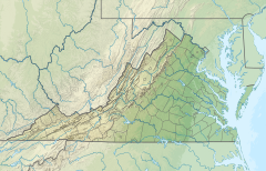
Windy Run is a small stream in Arlington County, Virginia. From its source near Lorcom Lane, Windy Run flows on a northeastern course and empties into the Potomac River within the Federal parklands of the George Washington Memorial Parkway.[1] Windy Run is surrounded predominantly by forests. It is known by many of the Arlington locals as simply "The Falls".
Parks along Windy Run[edit]
- Windy Run Park (Arlington County Parks and Recreation)
- George Washington Memorial Parkway (US National Park Service)
See also[edit]
Notes[edit]
- ^ Coordinates of Windy Run at confluence with Potomac River: 38°54′21″N 77°05′37″W / 38.90583°N 77.09370°W

