Nabatieh Governorate
Appearance
Nabatieh
محافظة النبطية | |
|---|---|
 Map of Lebanon with Nabatieh highlighted | |
| Coordinates: 33°18′N 35°30′E / 33.300°N 35.500°E | |
| Country | Lebanon |
| Capital | Nabatieh |
| Government | |
| • Governor | Mahmoud Al-Mawla |
| Area | |
• Total | 1,058 km2 (408 sq mi) |
| Population | |
• Estimate (31 December 2017)[1] | 383,839 |
| Time zone | UTC+2 (EET) |
| • Summer (DST) | UTC+3 (EEST) |
Nabatieh Governorate (Template:Lang-ar, Muḥāfaẓat an-Nabaṭiyyah) is one of the nine governorates of Lebanon. The area of this governorate is 1,058 km2. The capital is Nabatieh.
Districts
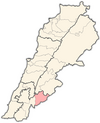
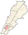
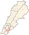
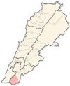
The governorate is divided into four districts (Aqdiya, singular qadaa) containing 116 municipalities. The capitals are in brackets:
- Bint Jbeil (Bint Jbeil) – 36 municipalities
- Hasbaya (Hasbaya) – 16 municipalities
- Marjeyoun (Marjeyoun) – 25 municipalities
- Nabatiyeh (Nabatiyeh) – 39 municipalities

Religion in Nabatieh Governorate
Religion in the Nabatieh Governorate
Shia Islam (60%)
Sunni Islam (3%)
Christianity (30%)
Druze (7%)
See also
References
- ^ Brinkhoff, Thomas (2 March 2019). "Lebanon: Administrative Division". City Population. Retrieved 3 July 2021.


