Indianapolis Downtown Heliport
Appearance
Indianapolis Downtown Heliport | |||||||||||
|---|---|---|---|---|---|---|---|---|---|---|---|
 | |||||||||||
| Summary | |||||||||||
| Airport type | Public | ||||||||||
| Owner | Indianapolis Airport Authority | ||||||||||
| Serves | Indianapolis | ||||||||||
| Elevation AMSL | 732 ft / 223 m | ||||||||||
| Coordinates | 39°45′57″N 86°08′56″W / 39.765876°N 86.148875°W | ||||||||||
| Website | Indianapolisairport.com - Heliport | ||||||||||
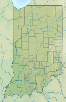
| Map | |||||||||||
| Helipads | |||||||||||
| |||||||||||
Indianapolis Downtown Heliport is a heliport located in the city center of Indianapolis. The heliport was opened in 1969 as a private use heliport under the name Beeline Heliport and in 1979 was turned into a public facility. In 1983 the FAA picked the heliport to be part of its National Prototype Demonstration Heliport Program, a project launched to illustrate the usefulness and viability of full-service downtown heliports in the United States, and as a result it received considerable funding for improvements and expansion. It currently has one main pad for landing, an apron and two hangars. IFR approaches are possible.
External links


