
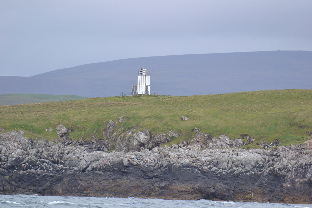
Muckle Holm, Yell Sound
 Muckle Holm and the lighthouse on the top | |
 | |
| Location | Muckle Holm Yell Sound Shetland Scotland United Kingdom |
|---|---|
| Coordinates | 60°34′50″N 1°16′00″W / 60.580660°N 1.266765°W |
| Constructed | 1976 |
| Foundation | concrete base |
| Construction | metal skeletal tower |
| Automated | 1976 |
| Height | 32 metres (105 ft) |
| Shape | square tower covered by aluminium panels with light on the top |
| Markings | white tower |
| Operator | Royal Society for the Protection of Birds[1] |
| Light | |
| Focal height | 7 metres (23 ft) |
| Light source | solar power |
| Characteristic | Fl (4) W 10s. |
Muckle Holm is a small island in Shetland. It is in Yell Sound, near the Northmavine. It is 23 metres (75 ft) at its highest point.
There is a lighthouse, first lit in 1976.[2]
See also
References
- ^ Muckle Holm The Lighthouse Directory. University of North Carolina at Chapel Hill. Retrieved 31 May 2016
- ^ "Muckle Holm". Shetlopedia. Retrieved 7 August 2009.
This article incorporates text from the article Muckle_Holm on Shetlopedia, which was licensed under the GNU Free Documentation Licence until September 14, 2007.
External links
Wikimedia Commons has media related to Muckle Holm.
This Shetland location article is a stub. You can help Wikipedia by expanding it. |
This British lighthouse-related article is a stub. You can help Wikipedia by expanding it. |