Jump to content

Alta Vista, San Diego

Coordinates: 32°50′24″N 117°16′37″W / 32.84000°N 117.27694°W / 32.84000; -117.27694
From Wikipedia, the free encyclopedia

This is an old revision of this page, as edited by 2605:e000:1c03:4645:843c:7fb9:3ed7:eef2 (talk) at 17:04, 14 May 2020. The present address (URL) is a permanent link to this revision, which may differ significantly from the current revision.

Alta Vista, San Diego
Alta Vista
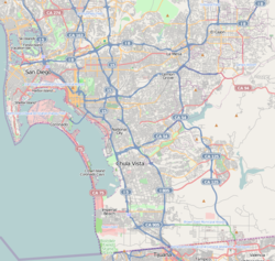
Alta Vista, San Diego is located in Southern San Diego
Alta Vista, San Diego
Location within San Diego
Coordinates: 32°41′34″N 117°4′2″W / 32.69278°N 117.06722°W / 32.69278; -117.06722
Country United States of America
State California
County San Diego
City San Diego
ZIP Code
92114

Alta Vista is a small neighborhood in southeastern San Diego, California, United States. It is bordered by National City to the west, Bay Terraces to the east, Encanto and Valencia Park to the north.[1]

See also

References

  1. ^ "Map of Alta Vista, San Diego". Archived from the original on 2010-11-06. Retrieved 2010-10-09.

32°50′24″N 117°16′37″W / 32.84000°N 117.27694°W / 32.84000; -117.27694