
Lochridge, Texas
Lochridge, Texas | |
|---|---|
 Lochridge Location within the state of Texas  Lochridge Lochridge (the United States) | |
| Coordinates: 29°21′11″N 95°31′52″W / 29.35306°N 95.53111°W | |
| Country | United States |
| State | Texas |
| County | Brazoria |
| Elevation | 46 ft (14 m) |
| Time zone | UTC-6 (Central (CST)) |
| • Summer (DST) | UTC-5 (CDT) |
| ZIP codes | 77583 |
| Area code(s) | 281, 832 |
| GNIS feature ID | 1380093[1] |
Lochridge is an unincorporated community located at Farm to Market Road 1462 (FM 1462) and County Road 569 in Brazoria County, Texas, United States. It formerly had a distinct community.
Lochridge no longer found representation in the Census by 1950.
Education
Angleton Independent School District operates schools in the area.
-
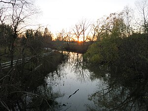 Sunset over Oyster Creek at the County Road 569 bridge

References
External links
- Lochridge, Texas from the Handbook of Texas Online
Municipalities and communities of Brazoria County, Texas, United States | ||
|---|---|---|
| Cities |  | |
| Towns | ||
| Villages | ||
| CDPs | ||
| Other communities | ||
| Ghost towns | ||
| Footnotes | ‡This populated place also has portions in an adjacent county or counties | |