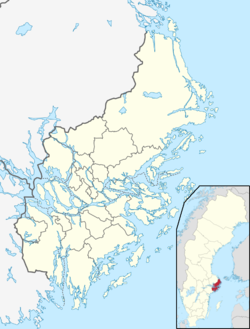
Vallentuna
Appearance
(Redirected from Vallentuna urban area)
Vallentuna | |
|---|---|
 | |
| Coordinates: 59°32′N 18°05′E / 59.533°N 18.083°E | |
| Country | Sweden |
| Province | Uppland |
| County | Stockholm County |
| Municipality | Vallentuna Municipality and Täby Municipality |
| Area | |
| • Total | 15.96 km2 (6.16 sq mi) |
| Population (31 December 2020)[2] | |
| • Total | 33,336 |
| • Density | 2,100/km2 (5,400/sq mi) |
| Time zone | UTC+1 (CET) |
| • Summer (DST) | UTC+2 (CEST) |
Vallentuna is the seat of Vallentuna Municipality in Stockholm County, Sweden, with 33,219[3] inhabitants in 2018. Vallentuna's cultural landscape is well preserved, and human habitation in the area has been traced back as far as the Stone Age. Archeological excavations in southern Vallentuna, near Lilla Gävsjö, uncovered remains of a Stone Age settlement.[4]
During the Bronze Age, population settlements increased in Vallentuna and the surrounding Roslagen area, when the landmass gradually rose as a result of the retreating ice glaciers.[5]
See also
[edit]References
[edit]- ^ "Tätorternas landareal, folkmängd och invånare per km2 2005 och 2010" (in Swedish). Statistics Sweden. 14 December 2011. Archived from the original on 2012-01-27. Retrieved 10 January 2012.
- ^ "Statistiska tätorter 2020, befolkning, landareal, befolkningstäthet". Statistics Sweden. 31 December 2020. Retrieved 2 June 2024.
- ^ "Folkmängd i riket, län och kommuner 30 september 2018 och befolkningsförändringar 1 juli–30 september 2018. Totalt". Statistiska Centralbyrån (in Swedish). Retrieved 2019-02-18.
- ^ Vallentuna kommun - Historik & utveckling
- ^ Home – Historiska
External links
[edit]Wikimedia Commons has media related to Vallentuna.
KML is from Wikidata


