North Vernon Airport
Appearance
North Vernon Municipal Airport | |||||||||||||||
|---|---|---|---|---|---|---|---|---|---|---|---|---|---|---|---|
| Summary | |||||||||||||||
| Airport type | Public | ||||||||||||||
| Owner | North Vernon BOAC | ||||||||||||||
| Location | North Vernon | ||||||||||||||
| Elevation AMSL | 757.2 ft / 230.8 m | ||||||||||||||
| Coordinates | 39°02′42″N 85°36′14″W / 39.04500°N 85.60389°W | ||||||||||||||
| Website | http://www.nvair.org/ | ||||||||||||||
| Map | |||||||||||||||
 | |||||||||||||||
| Runways | |||||||||||||||
| |||||||||||||||
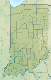
North Vernon Municipal Airport (ICAO: KOVO, FAA LID: OVO) is a public airport 2 miles (3.2 km) northeast of North Vernon, in Jennings County, Indiana. The airport was founded as St. Anne AAF in February 1944 and given to the City of North Vernon in 1948.
References
[edit]
External links
[edit]


